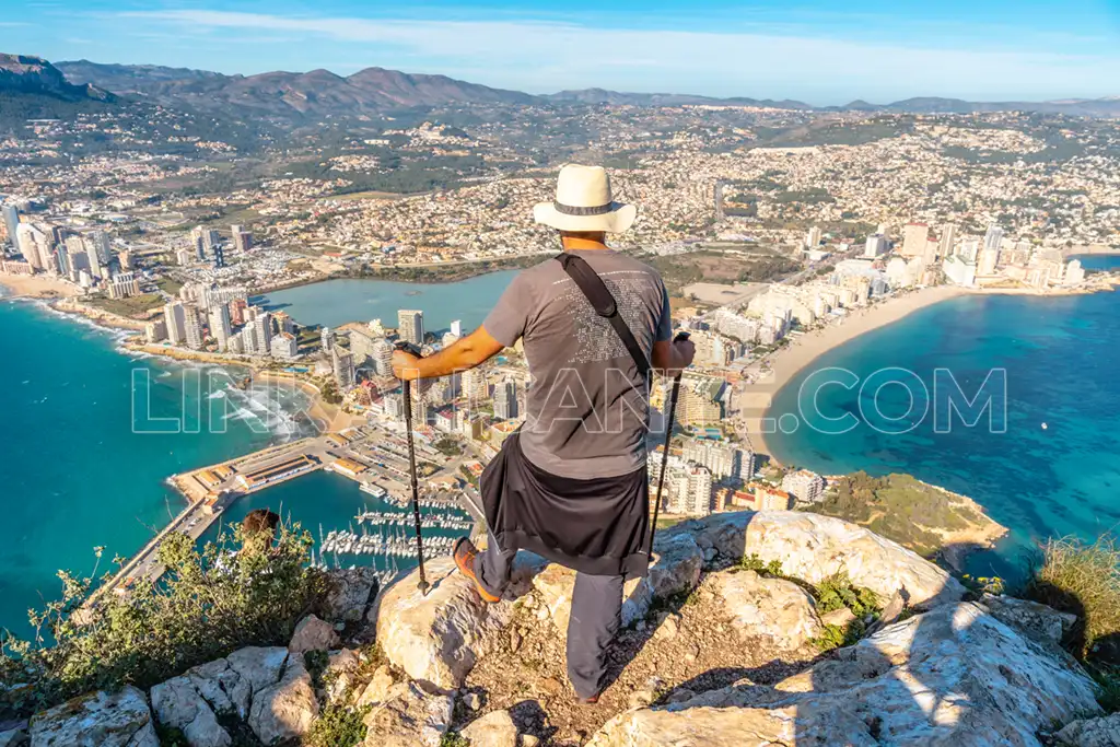
Climbing to the top of the Peñón de Ifach is one of the most amazing routes in the province of Alicante.
The route up to Ifach has some difficulty, due to the unevenness to overcome and the steepness of the terrain.
To follow the Red Route of the Natural Park it is necessary to book in advance, as visits are regulated to protect the environment.
In this article I tell you everything you need to know to conquer the summit of the Peñón de Ifach. Here we go!
Índice del Artículo
ToggleRoute Summary
The route up to the summit of the Peñón de Ifach is divided into 2 parts:
Visitor Center – Tunnel
The beginning, up to the tunnel, is of low difficulty, being suitable to do with children. It is a cobblestone road.
Tunnel – Summit
From the tunnel, the difficulty increases and the regulations do not allow access to children under 18 years.
The path becomes irregular and somewhat dangerous, partly because of the slipperiness of the polished rocks.
You have to use your hands to help yourself at some points.
In both cases, it will be necessary to make a reservation in advance in order to access the Red Route of the Natural Park.
Data sheet
- Difficulty: Easy (up to the tunnel) - High (summit)
- Round Trip Route
- Distance: 5km (total)
- Slope: +300 meters
- Estimated time: 3 - 4 hours
- Signage: Yes
- Appointment required (free)
- Children: only up to the tunnel
Route with Previous Reservation
To climb to the top of the Peñón de Ifach , we have to follow the official “red route” of the Natural Park.
Since 2020, it is mandatory to request an appointment to climb the Peñón de Ifach. There is a daily quota of 300 people. You can book on the same day, subject to availability. If you access without a reservation, you are subject to fines of up to 600 euros. Book your appointment by clicking on the link below:
Ascent to Ifach: Recommendations
1. Equip yourself properly.
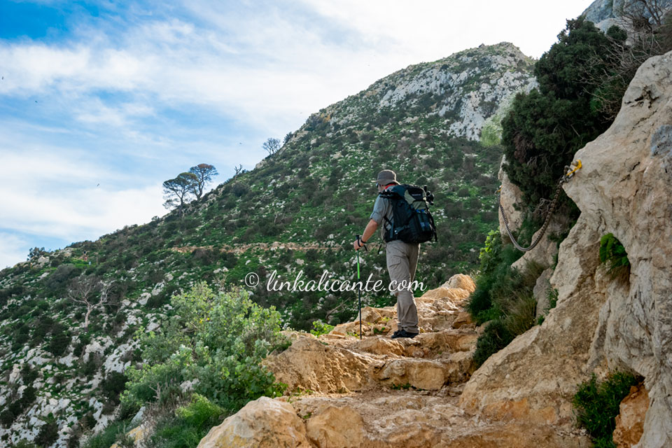
We should not be overconfident with this route. If you plan to climb to the summit, I recommend wearing mountain shoes or, at a minimum, closed running-type sneakers. If you come in summer, bring enough water as it can get very hot on the way up. Don’t forget sun protection (hat, sunscreen).
2. Do not leave the trails.
Penyal d’Ifac is a protected area under the figure of natural park. It is important not to leave the marked paths and not to damage the flora (there are species protected by law) or the fauna.
Map of the Ifach Summit Route
Alternative Routes
If you have not been able to book in advance, or there was no availability for the chosen day, we suggest these nearby routes that are an excellent alternative .
CALPE. 14 Essential plans next to Peñón de Ifach
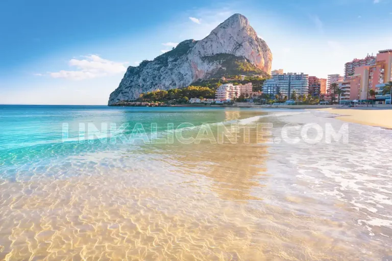
Discover what to see and do in Calpe / Calp, one of the most attractive destinations on the Costa Blanca for its beaches, culture and nature.
The Ecological Walk of Benissa, a coastal route of great scenic beauty
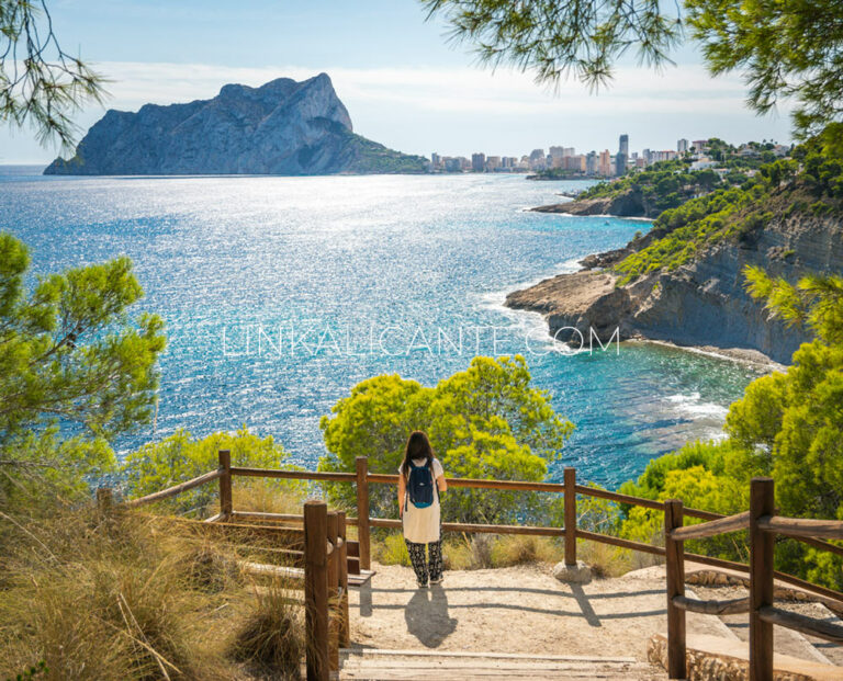
Marvel at the crystal clear waters and seabed of the coast of Benissa in this simple excursion along the sea, among pine trees and beautiful coves.
Personal Opinion
“To do once in a lifetime”. The Peñón de Ifach Natural Park is an environmental and scenic jewel.
The route that leads to its summit, however, leaves us with a bittersweet taste, since from the top we are aware of the brutal aggressions in the territory as a result of the excessive urban development of the coast.
Nevertheless, it is worth the climb if you have never been.
Detail of the Route
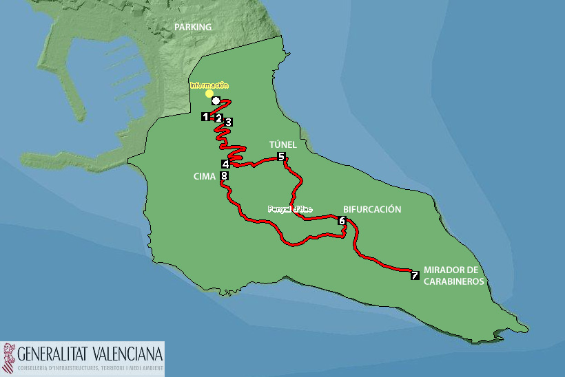
We leave the car in the parking mentioned in the “how to get there” section. We begin to climb the asphalt and immediately arrive at the site of the Medieval Pobla de Ifach , of great archaeological value. Shortly after we arrive at the Natural Park Visitor Reception Center , with an exhibition that we can visit. There are also restrooms and a fountain.
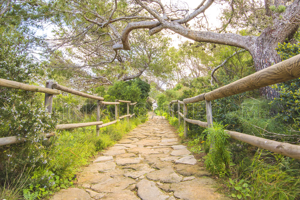
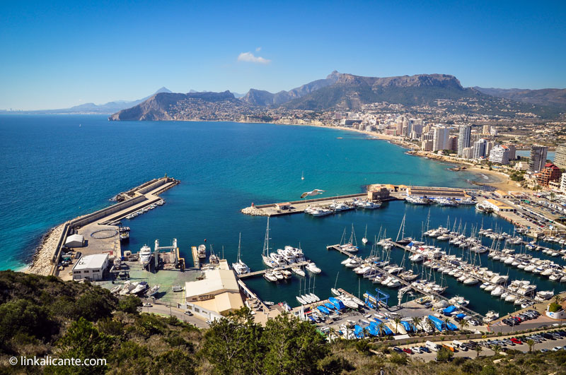
From there, we will follow a paved path , protected by wooden railings, which runs in the shade of the pine trees. Little by little we are gaining height, and we can enjoy the first views of the port of Calpe (bottom photo).
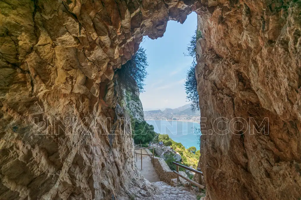
The path gently climbs in a zigzag pattern. Almost without realizing it, and after passing several viewpoints, we arrived at the tunnel . It is equipped with some ropes/chains on the sides, but it is not illuminated. Extreme caution should be exercised, as the floor is very slippery . Crossing it will undoubtedly be a great adventure for the little ones.
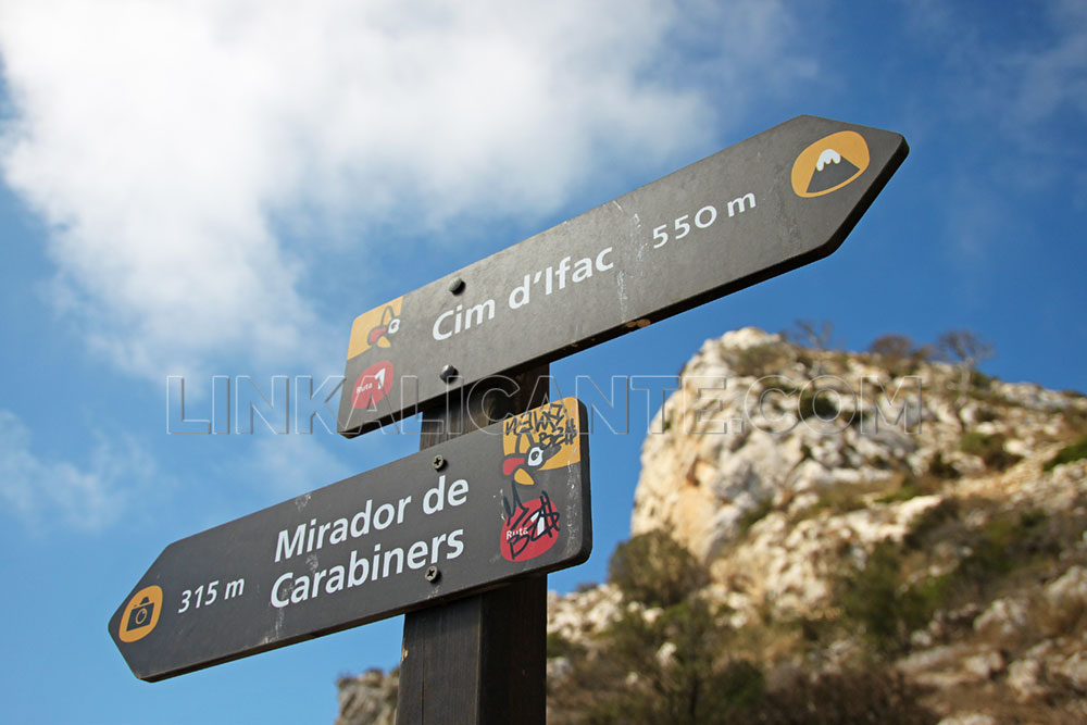
On the other side of the tunnel, the path turns into a path, at the beginning of which there are some steps equipped with chains . We follow the path, well marked, until a fork, where we head towards the Mirador de Carabineros .
Along the way we can enjoy the great botanical wealth of the Peñón de Ifach, which is home to a multitude of endemic species (they only grow here) as well as some in danger of extinction . Remember to be very respectful, as some of them are considered in danger of extinction.
We return from the viewpoint to the fork , to take the path that leads to the summit of the Peñón de Ifach. This last section is the most mountainous and “dangerous” of the route. Be careful because the limestone rock is really polished and very slippery . It is not recommended to climb if you do not wear mountain shoes.
Finally, we reach the summit of the Peñón de Ifach, 332 meters above the Mediterranean. The moment of maximum enjoyment of the day arrives: the panoramic view from the top of Ifach is truly spectacular , with a great sensation of verticality.
From up here you can see a good part of the mountains of the province of Alicante. From left to right: Serra Gelada, Puig Campana, Toix, Oltà, Bèrnia , Cau, Montgó , Puig de la Llorença and many others.
In our case, the sun was already quite low when we reached the top, so we decided to stay and enjoy the sunset from the top of Penyal d’Ifac…
By now, most visitors have already left. The seagulls begin to recover their natural territory, and offer us images of great beauty…
How to get to the Rock of Ifach
To visit the Peñón de Ifach, we must go to the town of Calpe (Calp), in the north of the province of Alicante.
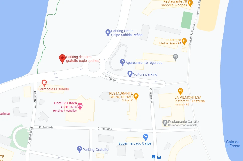
The old dirt parking lot at the foot of the Rock has been closed.
I recommend this large open space next to the Salinas. From there we reached the beginning of the climb in just 10 minutes on foot. You can also park closer, but keep in mind that in season there is ORA (blue zone). Below you can see the location on Google Maps.

