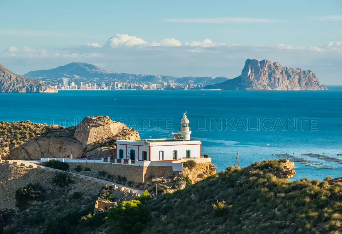
The L’Albir Lighthouse Route is an excursion very simple and accessible, suitable for baby carriages and wheelchairs, which will lead you along a paved road closed to traffic to the top of Punta Bombarda, at the northern end of the Serra Gelada Natural Park. This gentle walk will allow you to enjoy magnificent views of the Bay of Altea, the Serra de Bèrnia and the Serra Gelada itself.
The zigzagging path to the lighthouse is a perfect excursion to initiate children -and adults- in hiking and return home with that pleasant aftertaste that contact with nature and the view of the Mediterranean horizon leaves in us. Are you going to miss that feeling? Read on for details of this route!
Índice del Artículo
ToggleRoute Summary
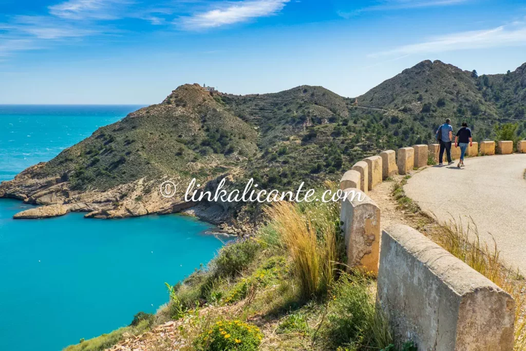
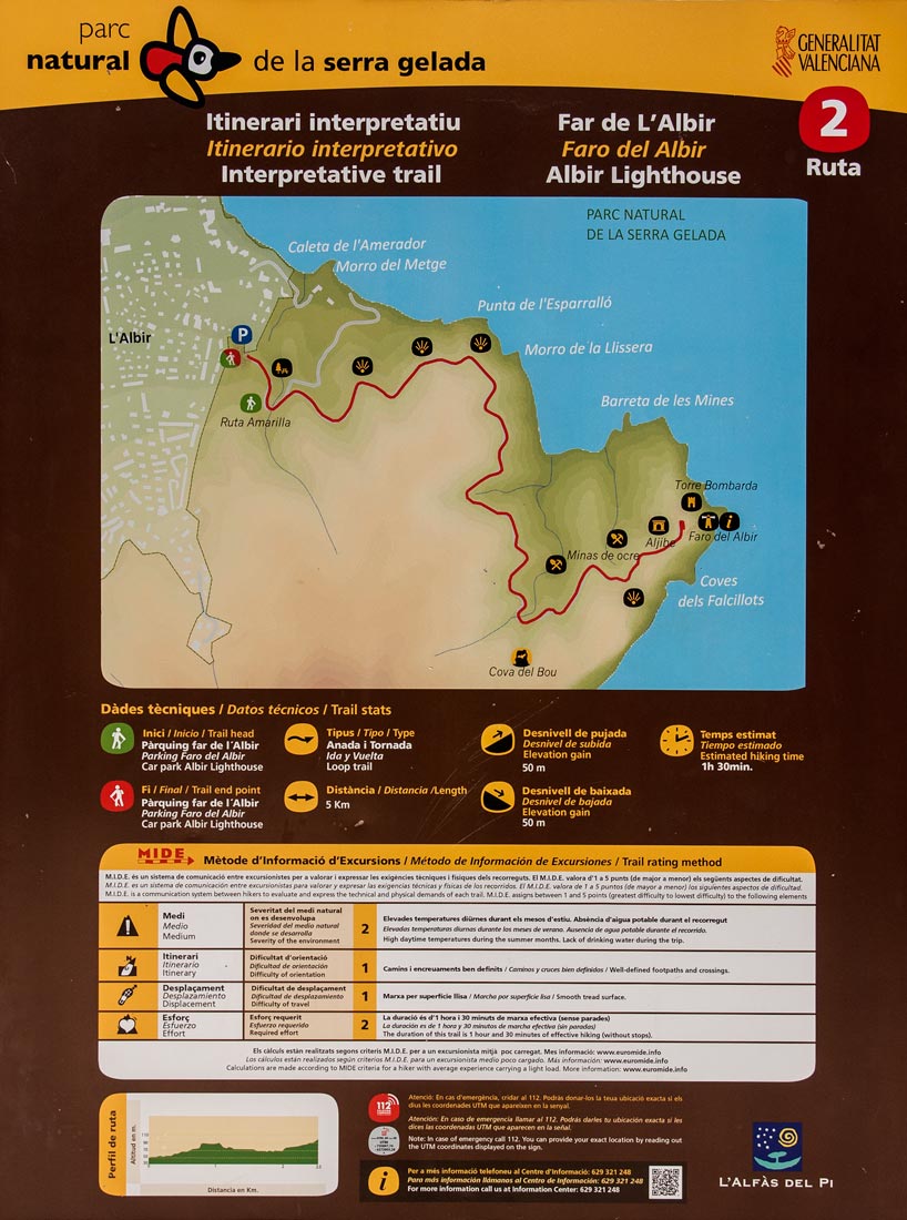
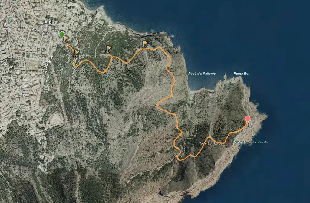
From the information point of l’Albir we will follow an asphalt road, practically flat and with no possibility of getting lost. Along the way we cross a small tunnel and find several viewpoints connected to the main path by a short stretch of trail and stairs.
The path leads us to the end of Punta Bombarda, where the L’Albir lighthouse is located and currently serves as the interpretation center of the natural park. Next to the lighthouse you can see the ruins of the Torre Bombarda, built in the 16th century for anti-corsair surveillance.
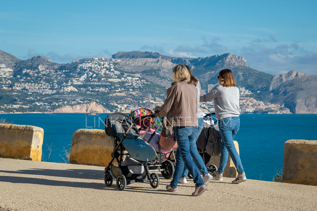
It is a one way easy walk of 5 kilometers in total. The approximate time to walk it is an hour and a half, depending on the pace of each person. I recommend in this case to walk without haste and enjoy each of the viewpoints. It is a route suitable for children, even with a baby stroller.
ROUTE SHEET
- Difficulty: Very Easy, all audiences
- Linear route (round trip)
- Total distance: 5 km (round trip)
- Slope: +100 m.
- Approximate time: 1-2 hours
- Accessible: YES. Wheelchair, pushchair, cyclable
- Cyclable: during special hours
How to get
The start of the route will be the Information Point of l’Albir ( see map ). This point has a great parking lot although it tends to fill up mid-morning on weekends. No problem, you can leave your car in one of the nearby streets.
Description and Photographs
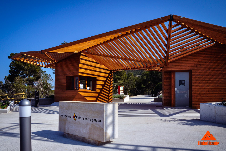
We start at the information point of l’Albir, where we find different information panels about the hiking route that we are going to do.
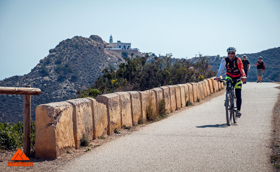
For cycling enthusiasts, it is a bike path, i.e., suitable for cycling, but only in a regulated schedule: until 10:00 am and from 8:00 pm. If we opt for this option, we must remember that pedestrians have priority.
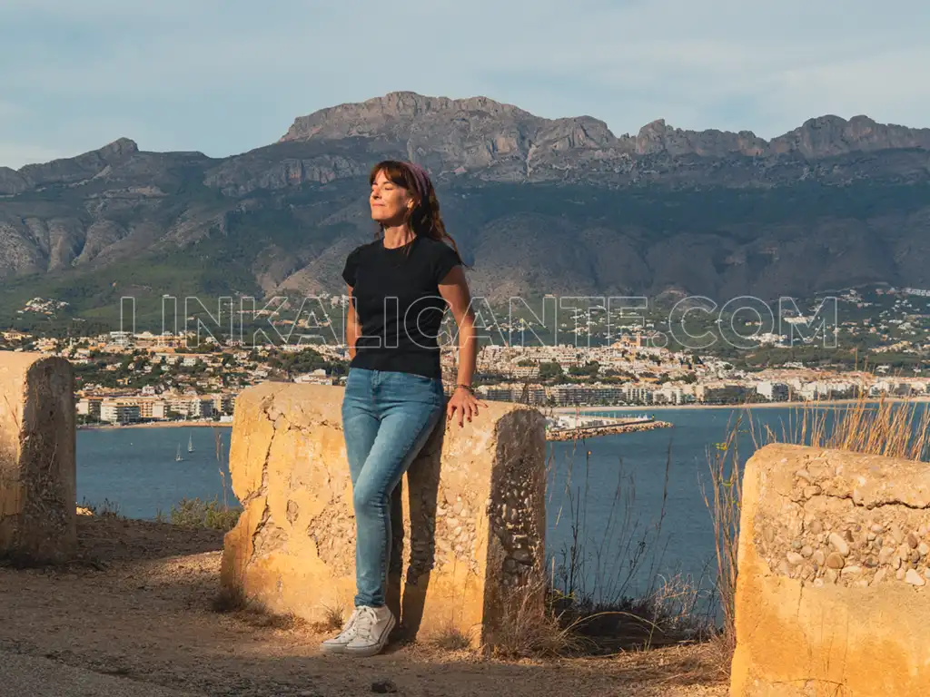
Just over a hundred meters from the start of the route, we find a recreational area with some tables and shade . We will have to get up very early if we want to get a seat.
A little further on we find the fork in the yellow route : La Travesía de la Serra Gelada . It is a route of medium/high difficulty that runs along the entire crest of the mountain range.
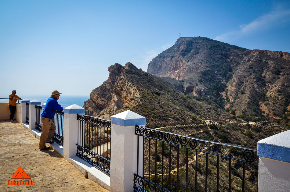
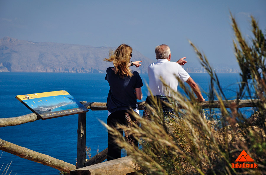
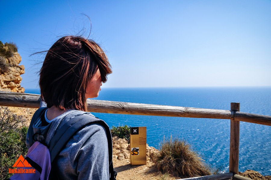
We discard this fork and continue advancing along the paved road. We arrive at the first viewpoints of the route. The second balcony is especially beautiful, with fantastic views of the Bay of Altea , with the Serra de Bèrnia in the background.
The day I did the route, the visibility was not very good. Despite this, from the second viewpoint we could easily see the Peñón de Ifach , also a natural park, located in the neighboring town of Calp.
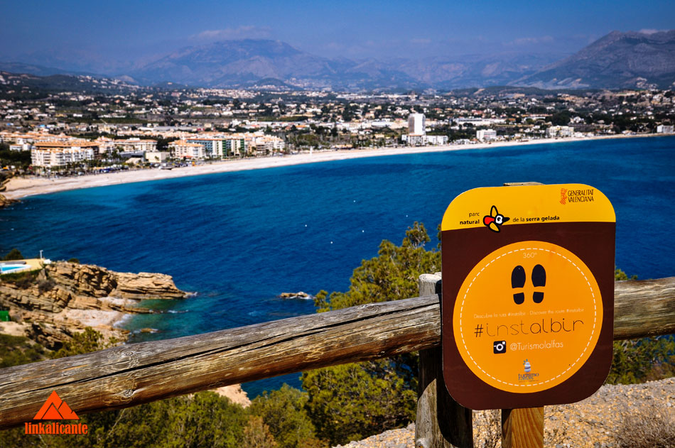
Along the route we find different information panels of the #install photographic route, an initiative of the Department of Tourism of l’Alfàs. If you are an instagramer , be sure to follow Turismo l’Alfàs on Instagram .
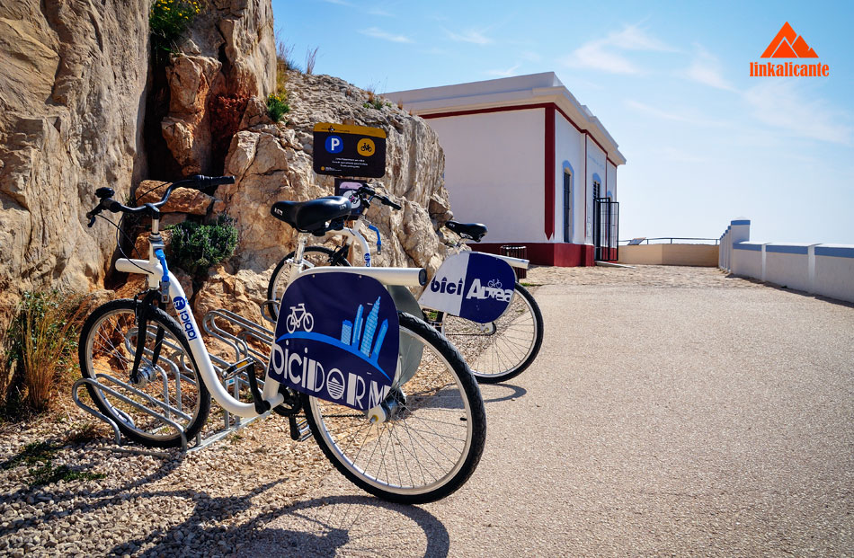
As I said at the beginning of the post, this is a cyclable path (hours 8 pm → 10 am, off-peak hours). A good way to enjoy the route, because the slope of it is very smooth. You can also choose to use the BiciAltea rental bikes.
Close to the Albir Lighthouse we find another viewpoint, a fantastic ledge on the face of the mountain range that overlooks the sea, with its impressive cliffs and fossil dunes. To get to it we have to go up a small stretch of path.
After 2.5 kilometers we reach the end of the route: The Albir Lighthouse Interpretation Center. Here we can visit the exhibition of photographs of the Albir Lighthouse itself and the Serra Gelada, with a lot of information and curious data.
Hours of the Lighthouse Interpretation Center of l’Albir
WINTER TIMETABLE
- Monday – Friday: 9:00 a.m. – 2:00 p.m.
- Saturday and Sunday: 10:00 a.m. – 1:30 p.m.
TIMETABLE SUMMER
- Monday – Friday: 9:00 a.m. – 1:00 p.m.
- Sunday: 10:00 a.m. – 1:30 p.m.
- Wednesday – Saturday: 6:00 p.m. – 9:00 p.m.
For guided tours, contact the phone number 965 889 424
I hope you have enjoyed the route, see you in the next one!
The best plans in Altea
From the viewpoints of the old town to its most hidden and inaccessible coves, through the best gastronomy and cultural attractions.
Route Track
Below you can check the track for gps via wikiloc of this route:
Do not miss...
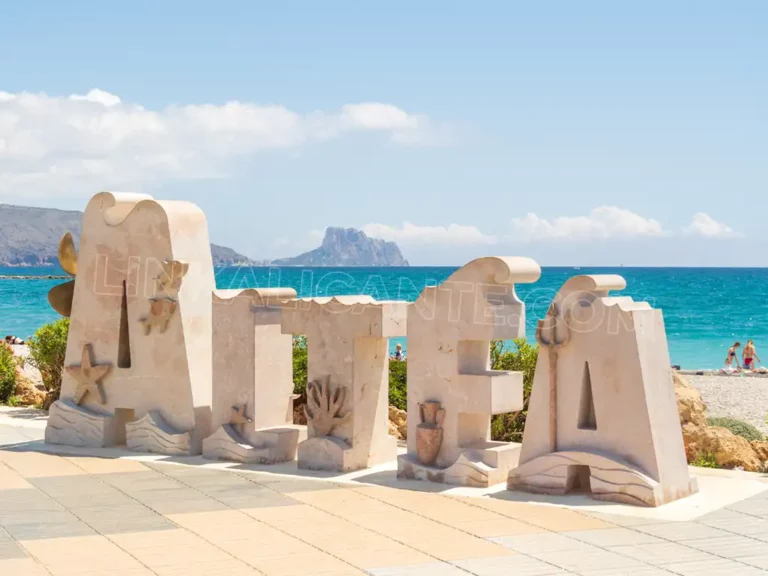
What to see in ALTEA, must-see places and plans
What to see in Altea: beautiful places, beaches, routes, gastronomy and the best plans to enjoy the most beautiful coastal town in Alicante.
The Villajoyosa Coastal Path, between coves and cliffs
Discover this coastal route with great environmental and cultural values through one of the few virgin stretches of the Costa Blanca in Alicante.

It’s not for wheelchairs!!!!!!!! Whoever said so didn’t go there. Please check the info you post.
Dear Casandra: I have been on this route many times and I can confirm that it is perfectly valid and ideal to enjoy in a wheelchair. The official website of the Natural Park also confirms this. All the best