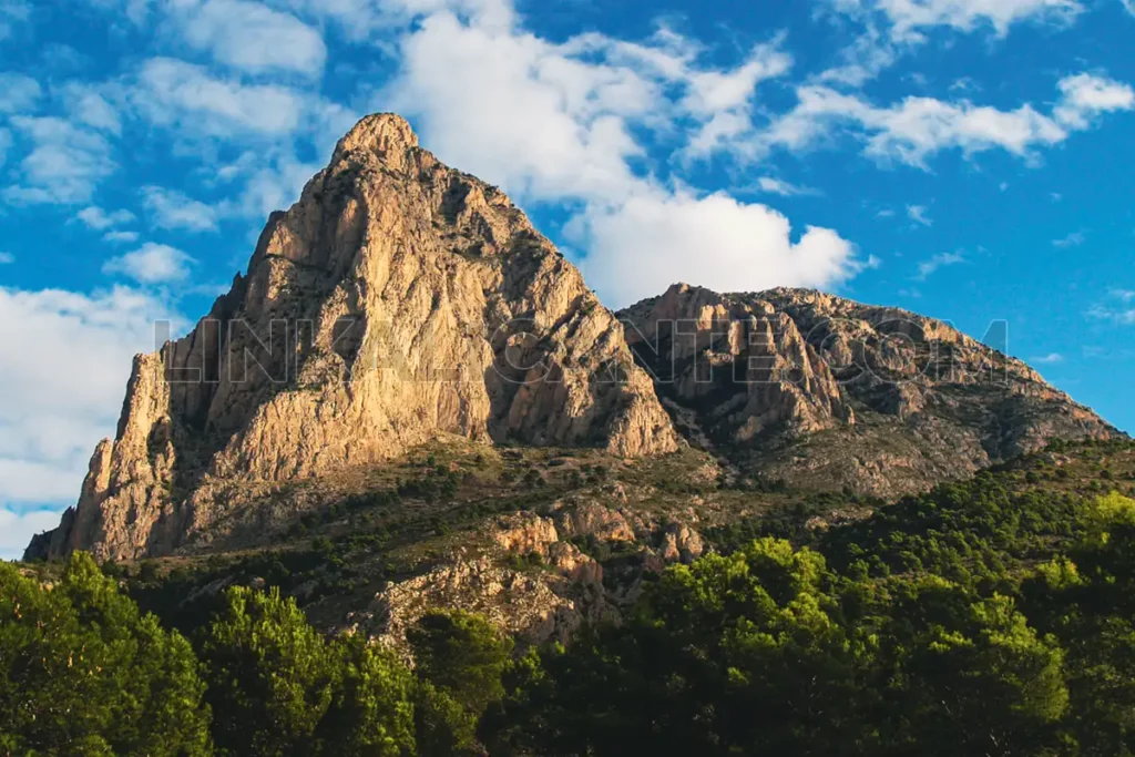
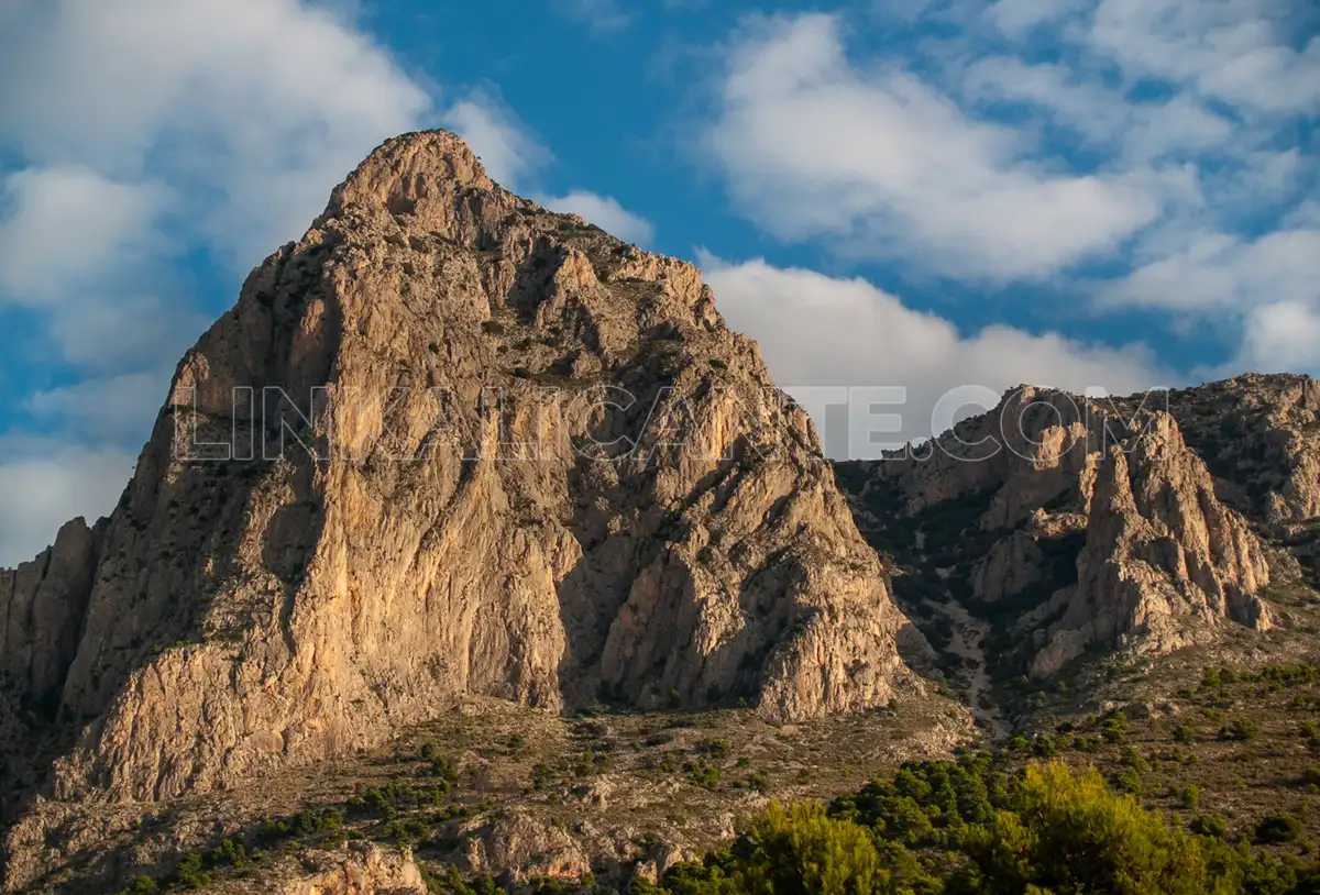
Rising to 1,408 meters above sea level, Puig Campana is the third highest peak in the province of Alicante and probably the most iconic and challenging of all the southeastern peninsular.
Its imposing morphology and marked prominence make its ascent a challenge only within reach of people in good physical shape, since the slope to overcome, over a thousand meters positive, make it a hiking route of very high physical demand.
Since my first time in 2001, I have climbed Puig Campana on several occasions and by different routes. In this article I tell you how is the ascent by the so-called“vertical kilometer” and I explain an alternative that, in my opinion, is much better to crown the summit of Puig Campana. On going!
Índice del Artículo
ToggleRecommendation
The ascent to Puig Campana by the “vertical kilometer” is a harder and less beautiful route than the circular route and summit of Puig Campana by the PR-CV 289 trail.
Keep in mind that by walking on a rocky area you will be contributing to the degradation of a very fragile, exposed and eroded terrain, which is worse for nature and the mountain.
If you want to climb the Puig Campana, my advice is to do it by the PR-CV 289 trail, doing the circular route:
Description of the vertical km route
Route of ascent to the Puig Campana by the known as “vertical kilometer”, i.e., the rocky area of the south face, whose original name is“Barranc de les Marietes” or“El Carreró“. The return we do it by the circular path PR-CV 289, bordering the mountain by its northwest slope.
The route up has a length of about 4 kilometers to the summit and a little more than 7 km. on the way down through the Refugio J.M. Vera.
We start at the Font del Molí de Finestrat, where we find ample parking (it is usually full), the emblematic fountain, toilets and route information. From here, we climb 400 meters up the asphalt road until we pass the channel that collects the waters of the Barranc dels Puertos.
At this point we find some wooden railings that delimit the path PR-CV 289, which goes up to the Coll del Pouet by the so-called Sender de la Serra. Cross the railing through the opening and start climbing straight ahead, along an unmarked path.
The first part of the climb runs through a grove of pine trees and begins to steadily gain altitude. We pass some rocky areas and small climbs until, arriving at the height of La Planissa, the forest opens and the slope is softened. We have before us the impressive Carreróthe ravine that divides the Puig Campana in two halves, with the Pic Prim on the left and the main peak on the right.
After a stretch of approach between old terraces, we arrive at the beginning of the Pedrera, at an altitude of 800 meters above sea level.
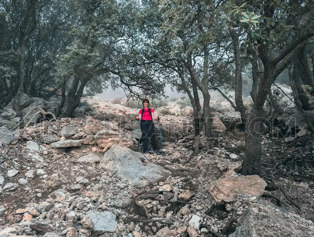
In general, throughout the climb up the rocky area, we have to try to look for the “senderillo” that runs to the right of it, avoiding walking through areas with loose stones. At some points we have to help ourselves with our hands to overcome more or less easy climbs.
Progress can be complicated if you are inexperienced or if you leave the trail, with the risk of getting stuck.
The ascent is slow because of the steep slope and the decomposed terrain. As I recommended at the beginning, this eroded terrain suffers a lot from the passage of hikers, so I encourage you to make the ascent by the north face and circular route instead.
During the ascent we see some yellow and white dots that help us to find the “less bad” way. Be careful not to go off the main trail, it is something that sometimes happens to some hikers and end up dangerously entangled and calling 112.
Finally, after more than 450 meters of ascent through the rocky area, we reach the pass known as Bancal del Moro, at about 1270 meters above sea level.
At this point we connect with the white and yellow marks of the variant PR-CV 289.1, which we will follow to the summit. We overcome a first climb through very rocky and decomposed terrain, where it is easy to lose the marks of the trail. After this area, the slope softens and the path practically flattens out, advancing towards the east with magnificent views of the Bay of Benidorm and, on clear days, the island of Ibiza or Cabo de Palos (Murcia). A last steep slope leaves us at the summit, crowned by a battered geodesic vertex, at 1408 meters above sea level and only 8 kilometers away from the Mediterranean.
Curiosity: La Cota Cero in Alicante.
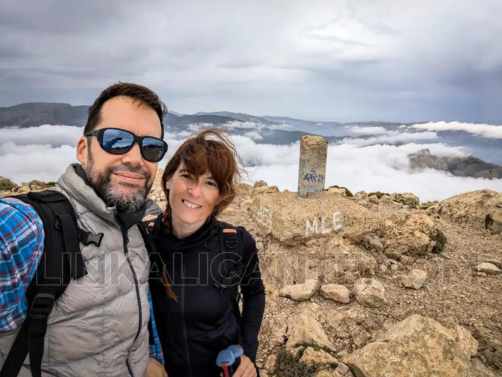
Descent along the PR-CV 289 trail
To return to the Font del Molí, we will follow the marks of the PR-CV 289 trail at all times. First, we retrace our steps to the pass of Bancal del Moro. We begin the descent through a rocky and very broken terrain, where it is easy to lose the right path. We have to be very attentive and look for the marks of the trail and the trodden areas.
On the other hand, the environment is of great beauty, with the presence of some deciduous trees (maples and ashes), large rock spires and magnificent views of the Sierra de Aitana. This area is protected by a flora micro-reserve due to its great botanical biodiversity.
After overcoming the first more vertical part, the slope softens and the trail becomes a track, just before reaching the Coll del Pouet, a strategic crossroads. A little before, we go through the detour to the Font de la Solsida, where we can also return to the starting point, although this option is somewhat longer and more uncomfortable.
From the Coll del Pouet, we continue down the track towards the José Manuel Vera Refuge, in a state of conservation not too good, largely due to the lack of civility of the users.
From the refuge, the track becomes a path, although this is generally very comfortable and easy to walk, as it is not very rocky. Little by little we border the Puig Campana with magnificent views of the Serra dels Castellets and the Sierra de Aitana. Finally, after a little less than 5 kilometers from the Coll del Pouet, we reach the Font del Molí, concluding this demanding excursion.
DATA SHEET
- Difficulty: High → Great unevenness, steep slopes and rocky terrain, easy to get disoriented.
- Circle Route
- Slope: +1100 m.
- Distance: 11.5km
- Approximate time: 6-7 hours
- Trails: PR-CV 289 (Volta al Puig Campana)
Personal Appraisal
After 14 years -I haven’t been up here since 2010-, I have returned to do the route up the Pedrera del Puig Campana in the company of Noelia, my partner. Going up “El Carreró” is something I always recommend to avoid and I myself have followed this advice for many years.
On this occasion, we wanted to return to check the state of the “trail” and relive the experience in preparation for the publication of this dissuasive article. After that, I reaffirm my opinion that it is better for the mountain and for the legs to climb the north face, avoiding the wrongly called “vertical kilometer”. The circular alternative and ascent to the summit from the Coll del Pouet is a much more varied and interesting trail.
Track for GPS
I share with you the GPS track of LinkAlicante’s profile on wikiloc, which you can follow for free (no need to be premium) as we are ORG on this platform.
Related Routes
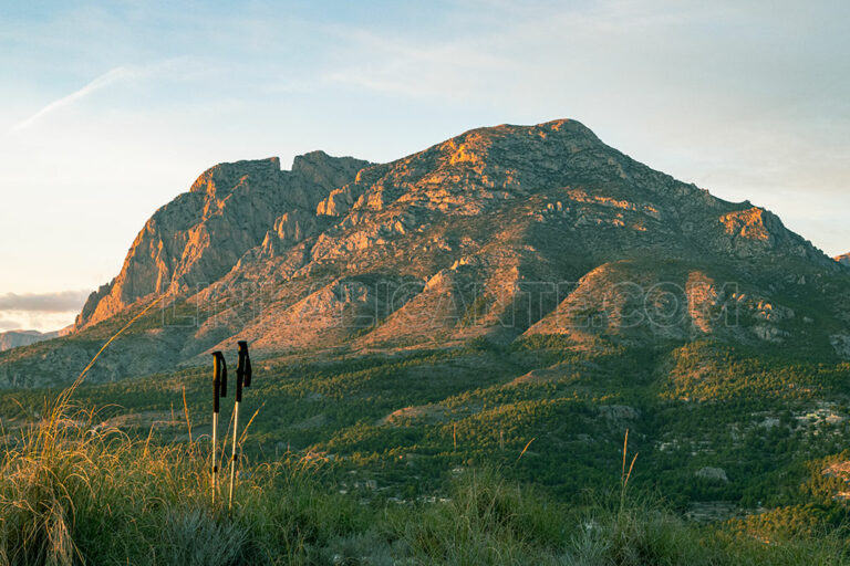
Puig Campana: Summit & Loop Hike from Finestrat
The Puig Campana , The Magical Mountain of Finestrat , is the second highest peak in the province of Alicante. A limestone mass that rises abruptly to 1,408 meters high, a few kilometers from the Mediterranean and the tourist Benidorm.
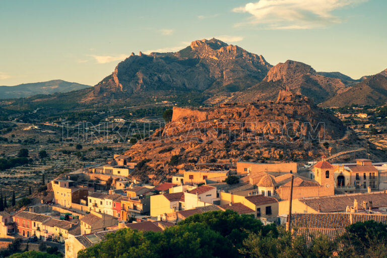
Circular route and Cabeçó d’Or summit, in search of Alicante’s treasure.
We visited the town of Busot to do one of the most iconic hiking trails in the province of Alicante: the PR-CV 2 trail in the Cabeçó d’Or.

