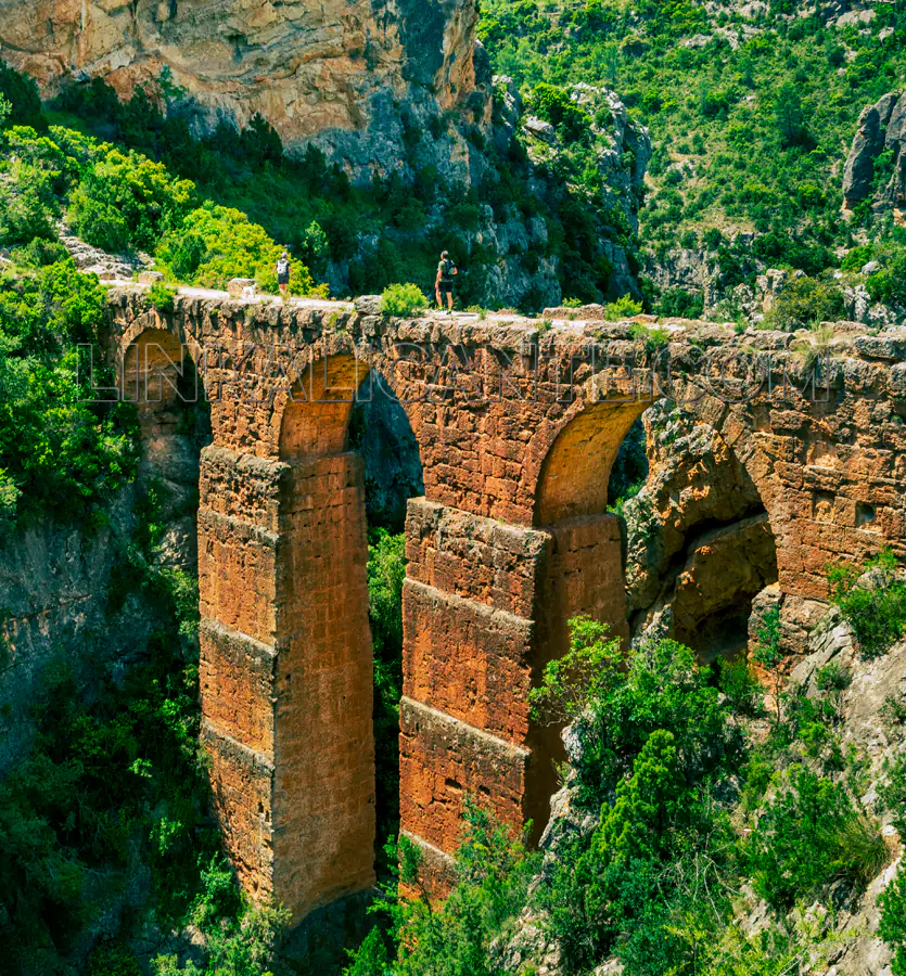
In the interior of the province of Valencia , less than an hour’s drive from the capital, a hiking route awaits us that will surprise us with its fascinating cultural heritage . We travel to the town of Calles , in the Los Serranos region, to admire a monumental complex from Roman times: The Peña Cortada Aqueduct .
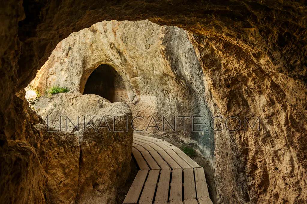
This fascinating work of engineering consists of a succession of bridges and tunnels carved into the rock —hence its name— which we can explore on foot, as we enter a natural environment of great beauty and environmental value. Nearby are the Chera – Sot de Chera Natural Park or the charming town of Chelva , ideal to combine in a several-day getaway in the area.
Will you join us to discover this surprising hiking route? Read on to find out!
Índice del Artículo
ToggleWhat is the Peña Cortada route like?
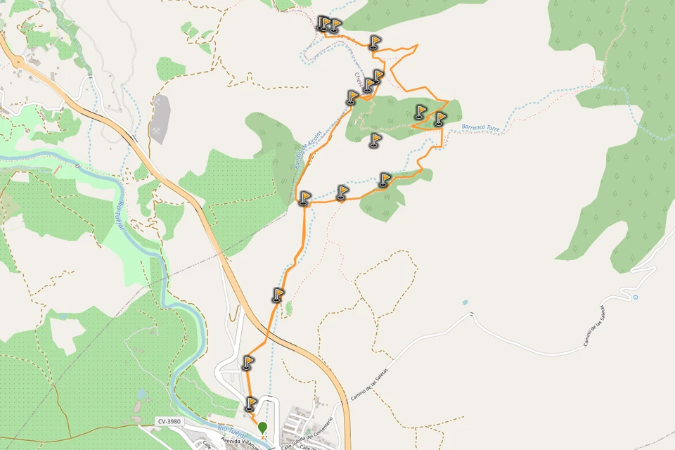
There are several ways to reach the Peña Cortada aqueduct. We recommend a circular route of about 10 kilometers that includes a part of the Water Route of Chelva. Thus the result is varied and with an ideal length for a day.
Starting from the town of Calles , on the banks of the River Tuéjar , we follow the layout of the Rambla de Alcotas to the point where it is boxed in, giving rise to a highly spectacular setting. We advance through this narrow passage, of great beauty, with the help of an iron bridge and some stone stairs, following a protected path with a wooden railing. Once we have overcome the ascent, we reach the Mirador de la Rambla de Alcotas , where we can recharge our batteries before continuing.
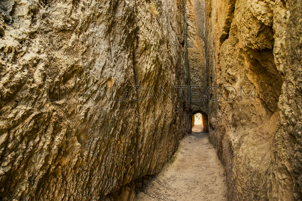
From there, through the tunnels excavated with hammer and chisel in the rock , we will advance, with magnificent views, until we reach the great cut in the mountain that gives its name to the architectural complex.
After crossing this surprising passage carved into the rock, the Barranco de la Cueva del Gato Bridge appears before us, the best preserved bridge-aqueduct of the whole complex.
After admiring the beauty of the viaduct, we can continue a little further to the Rambla de Alcotas Bridge , originally larger but less well preserved today.
We will return by the same path, or by the Corral de Castro (somewhat more difficult), obtaining a partially circular route in this second case.
DATA SHEET
- Difficulty: Easy-Medium
- Circular Route (partly)
- Distance: 9km
- Slope: 320 m.
- Suitable for children from 8-9 years old
- Estimated time: 3-4 hours
The Aqueduct of Peña Cortada
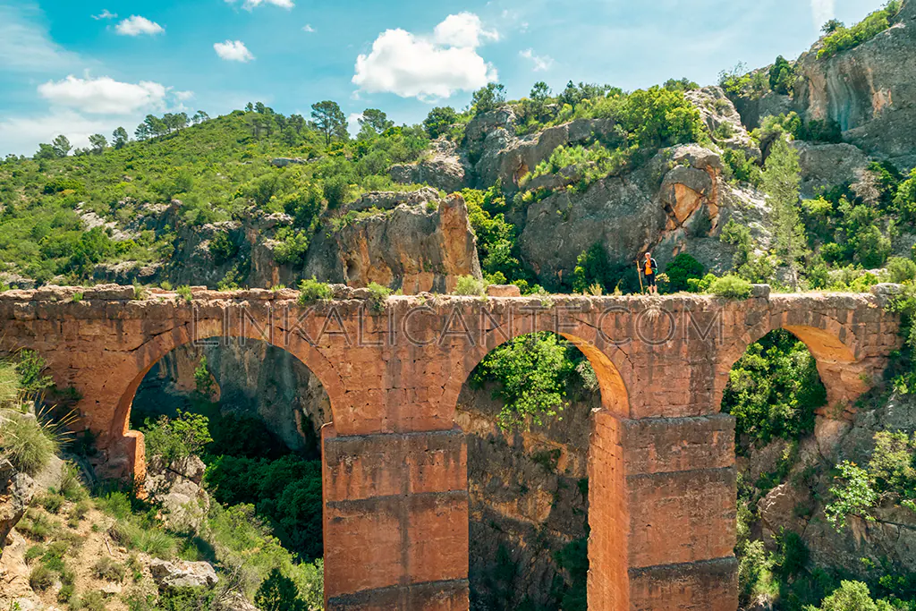
Located in the region of Los Serranos (also called La Serranía del Turia ), in the interior of Valencia, we find a cultural heritage of incalculable value: the Roman Aqueduct of Peña Cortada , which runs between the municipalities of Tuéjar, Chelva, Calles and Domeño , with a length of 28.6 kilometers.
Some theories maintain that the original aqueduct, whose route has been disappearing over the centuries, supplied the city of Valencia, with a route of almost 100 kilometers, as we can read in this article .
The best-known and most spectacular part of the Roman aqueduct can be found in the municipality of Calles : two monumental bridges that cross the Rambla de Alcotas and the Barranco de la Cueva del Gato . The latter is the best preserved element of the pharaonic work, with a length of 36 meters, divided into 3 arches, and a maximum height of 18 meters.
The set of tunnels and bridges receives its name —peña Cortada— from the great pit excavated in the mountain . His explanation is as simple as it is ingenious: in addition to allowing the passage of water, it was an improvised quarry from which the stone necessary to build the monumental viaducts was extracted.
Track Route Peña Cortada
Links of interest
More Routes in Valencia
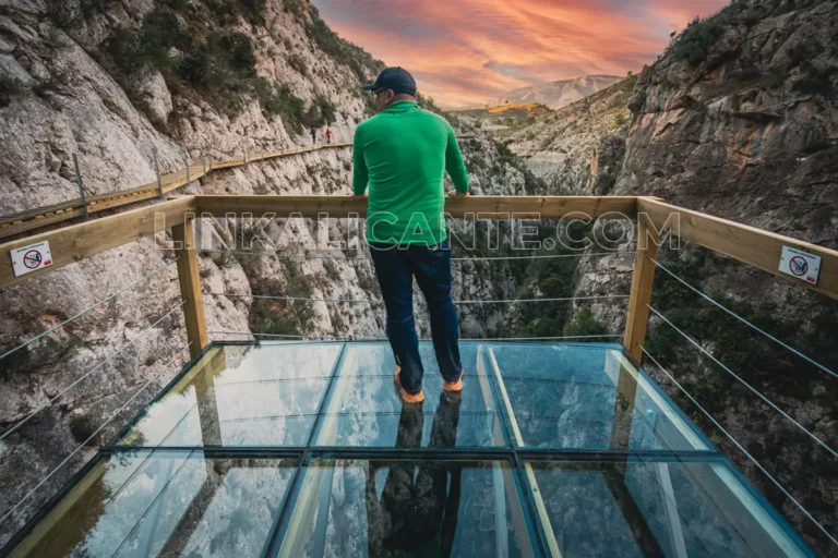
Top 15 Best Hiking Trails in Valencia and CV
Discover these 15 Routes in Valencia and Comunitat Valenciana that you can not miss: walk into the most incredible places.
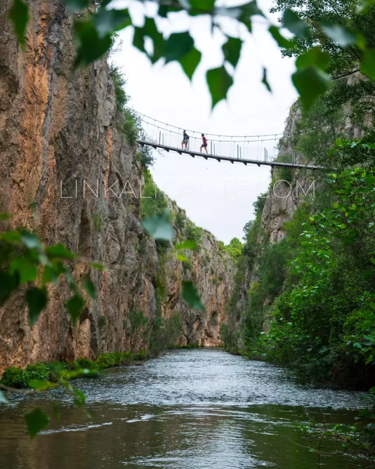
Hike of the Hanging Bridges of Chulilla (Valencia)
Delve into the spectacular landscape of the Hoces del Turia through the Route of the Hanging Bridges of Chulilla (Valencia).

