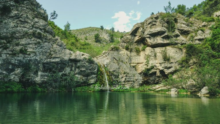
The Barranc de l’Encantada, circular route from Planes
In the Baronía de Planes, in the north of the province of Alicante, the Barranc de l’Encantada is an amazing journey through pools, waterfalls and gorges for the waters that see it born.
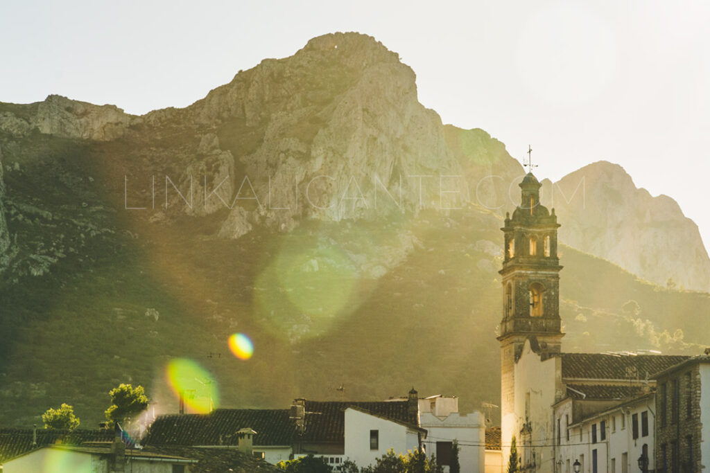
La Vall de Gallinera is a little “lost paradise” inside the Marina Alta. A beautiful valley in the shape of a narrow corridor, nestled between the Sierras de la Foradà and l’Almirall . A small orchard, covered with cherry trees and endemic plants, which connects the heart of the Mountain of Alicante, the lands of El Comtat, with the coastal strip, at the height of Pego.
Because of its climate, its history, its nature… La Vall de Gallinera is a very special enclave; a magical place where, fortunately, time seems to have stopped. A place where, even today (knock on wood) people live at a leisurely pace, safe from the brutal real estate speculation on the coast.
Will you accompany me to meet her?
Share this article:
Easy Difficulty
Medium Difficulty
High Difficulty
3️⃣ The Serra Foradà + Route 8 Villages (30 km)
4️⃣ The Serra del l’Almirall + 8 Villages (30 km, wikiloc)
5️⃣ The Valleys of the Marina Alta (62 km)
Keep reading to discover the routes!
Before continuing, I encourage you to watch this video about the Vall de Gallinera: its towns, its culture, its history, its cherry trees…
The Route of the 8 Villages of Vall de Gallinera is a linear route 16 kilometers long. This tour connects the 8 small and picturesque villages of the valley, from Benirrama to Benissili.
Although the complete route is 16 kilometers (one way), we always have the option of doing only one section, according to our physical condition and the time we have available.
During most of the route, it is a very simple route that runs along paved paths, next to cherry trees and other fruit trees, linking the different villages of the valley and past a multitude of fountains and wash houses.
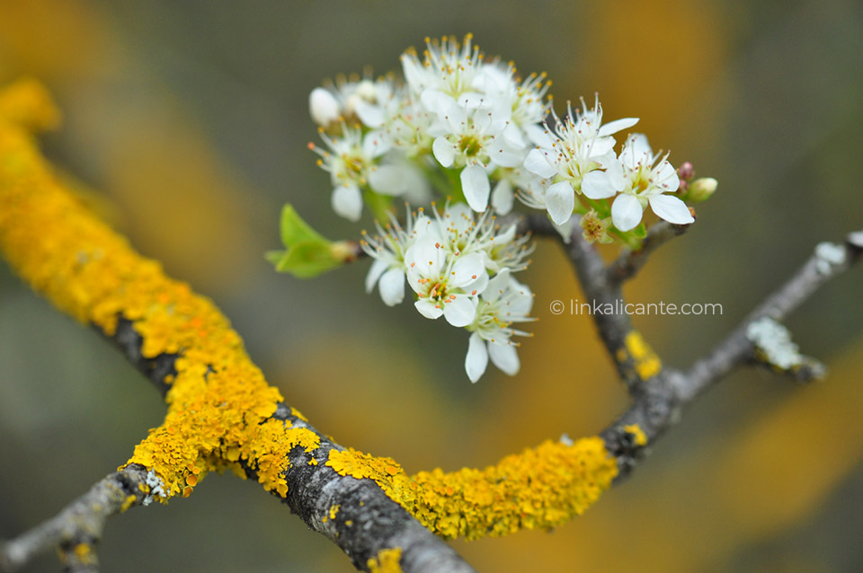
During the month of March , the cherry trees that are grown throughout the valley reach their flowering stage . It is then that Gallinera is dyed white, becoming even more beautiful than usual.
Twice a year, in March and October, a natural phenomenon worthy of admiration takes place: the Penya Foradà Solar Alignment . On those dates, during its descending path, the Sun crosses the rock arch of Penya Foradà, illuminating the place where a Franciscan convent once stood. On these dates, the City Council of La Vall de Gallinera carries out a series of events.
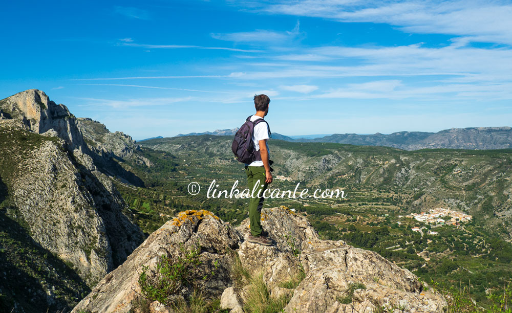
From the towns of Benissivà and Beniatia, we ascend to the emblematic Penya Foradà , on a circular route with great landscape and heritage attractions.
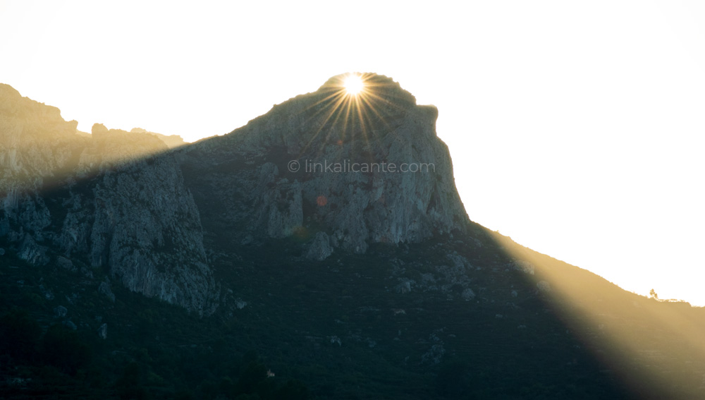
The emblematic Penya Foradà is the scene of a solar alignment , which occurs twice a year:
Interestingly, the observation point of this alignment is located at the location of the old Franciscan convent (today only the fountain remains). In other words, the convent was built at the exact point that is illuminated by the sun’s rays that cross the Penya Foradà, on the days dedicated to its patron saint. If you want to know more, I recommend you visit the website of José Lull , rediscoverer of the alignment phenomenon.
Every year, the weekend closest to these dates, the Vall de Gallinera Town Hall organizes a series of events (hiking routes, local product fair…) and facilitates the observation of the line-up, which is why it is especially It is advisable to visit the Vall on those days.
If you travel to Vall de Gallinera to do one of its hiking trails, my advice is to take the opportunity to stay in one of the charming accommodations that you will find in the Vall , and soak up the quiet lifestyle that is breathed here.
I encourage you to spend a full weekend in the Vall de Gallinera, discover its 8 beautiful villages through a simple route and enjoy its rich gastronomy , its cultural attractions and its scenic beauty.
💚 Casa Rural El Castellot, en Alpatró
🔹 Hotel Rural El Secret de la Foradà, en Benissivà
🔹 El Capricho de la Portuguesa, en Benialí

In the Baronía de Planes, in the north of the province of Alicante, the Barranc de l’Encantada is an amazing journey through pools, waterfalls and gorges for the waters that see it born.
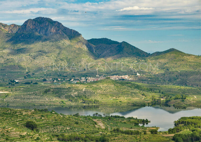
The Sierra del Benicadell constitutes the natural border between the counties of El Comtat (Alicante) and the Vall d’Albaida (Valencia), therefore also forming the border between these two provinces of the Valencian Community. This mountainous formation is one of the
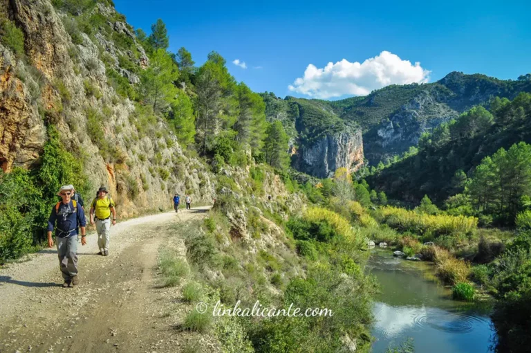
Beautiful route on the old railway line that crossed the known as “Barranc de l’Infern”, following the course of the river Serpis”.
Haz clic en una estrella para puntuar:
Promedio de puntuación 0 / 5. Recuento de votos: 0
Sin votos por ahora.
Subscribe to LinkAlicante and receive for free the digital guide with 10 essential routes in Alicante.
To provide the best experiences, we and our partners use technologies like cookies to store and/or access device information. Consenting to these technologies will allow us and our partners to process personal data such as browsing behavior or unique IDs on this site and show (non-) personalized ads. Not consenting or withdrawing consent, may adversely affect certain features and functions.
Click below to consent to the above or make granular choices. Your choices will be applied to this site only. You can change your settings at any time, including withdrawing your consent, by using the toggles on the Cookie Policy, or by clicking on the manage consent button at the bottom of the screen.