Today we visit the region of Vega Baja del Segura, south of the province of Alicante, to know some of the most interesting hiking trails of this fertile region, bathed by the waters of the Segura River and famous for its lush orchard, with the artichoke as standard bearer. The Vega Baja is a region with a lot of character, with its own culture, gastronomy and idiosyncrasy. It is undoubtedly worth a slow and repeated visit, to thoroughly soak up its aroma, flavor and landscapes.
Don’t miss: What to see and do in Orihuela.
Índice del Artículo
Toggle7 Hiking Routes
in the Vega Baja del Segura (Alicante)
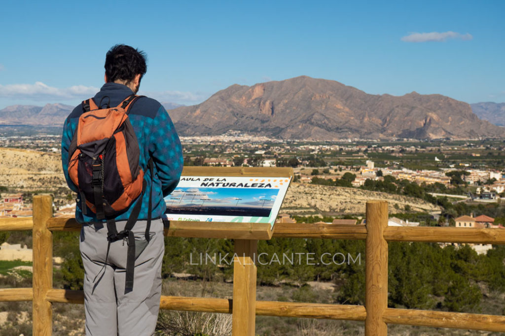
Although we are in a mostly flat region – at least if we compare it with the northern half of the province of Alicante – in the Vega Baja we find two especially significant mountain formations: the Callosa Mountain Range and the Orihuela Mountain RangeThe latter is the highest elevation of the region with its 634 meters of height. Two relatively modest mountain ranges in altitude, but that stand out powerfully in the landscape thanks to their notable prominence, emerging abruptly from the alluvial plain of the Segura rivers.
But, in addition to these outstanding mountain ranges, there are many other places in the southern end of the province of Alicante that are worthy of admiration and respect for their high environmental and cultural values… Will you join us to discover our selection of routes in the Vega Baja del Segura? Let’s start!
1. La Mata Lagoon (Torrevieja)
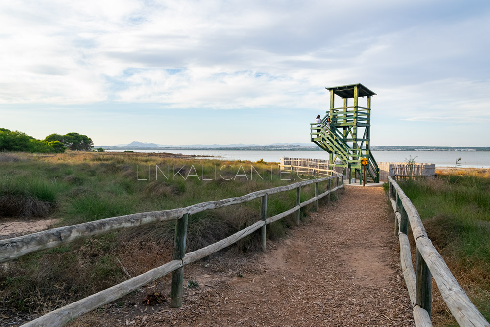
The Natural Park of the Lagunas de La Mata and Torrevieja is an environment with extreme conditions, marked by a very high degree of salinity. Despite this, it is a unique ecosystem, with a great biodiversity, in which the presence of more than 150 species of plants and dozens of bird species stands out. The latter find in the lagoons the perfect habitat to feed and reproduce, as well as to rest during their long migrations. In this unique environment, we propose a route of very easy difficulty, perfect for children, as well as an accessible route, suitable for strollers and wheelchairs.
2. The Rambla Salada of Albatera
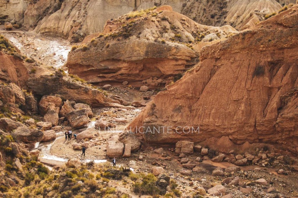
We traveled to the town of Albatera to visit a surprising place of extreme aridity and exceptional beauty. The Rambla Salada de Albatera rises in the tenuous divide between the Sierra de Abanilla and the Sierra de Crevillente, and has pierced the terrain giving rise to a series of narrow and small waterfalls through which runs this particular hiking route. The first part of the route is easy, and little by little we will find narrow passages, climbs and even some small sections of via ferrata in its final part (for which it is necessary to have the appropriate equipment and training). One of the most striking geological aspects is the presence of abundant salt formations in the bed of the wadi.
3. Coastal route of Cala Mosca
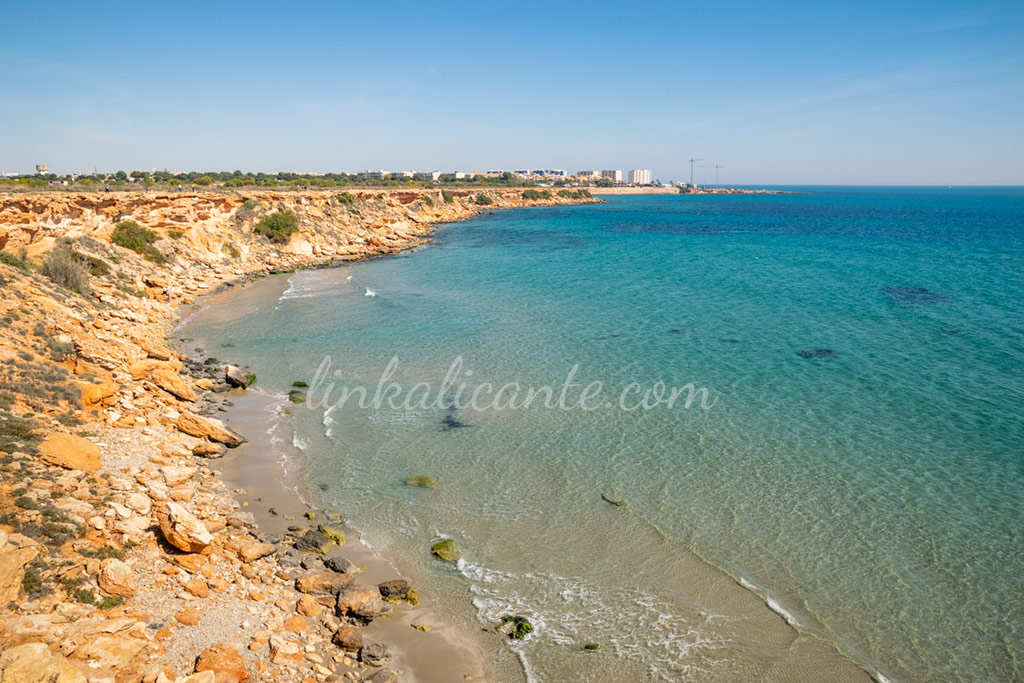
This simple coastal route will take us to discover the last virgin (undeveloped) kilometer of Orihuela’s coastline. There we will find an area of small cliffs and coves with crystal clear waters, one of which is enabled to go with our pets. This is a very simple route that will allow us to enjoy (if we manage not to build in the area) an ideal area for snorkeling, paddle surfing or just relaxing walks along the seashore.
4. El Hoyo Serrano (Algorfa - Almoradí)
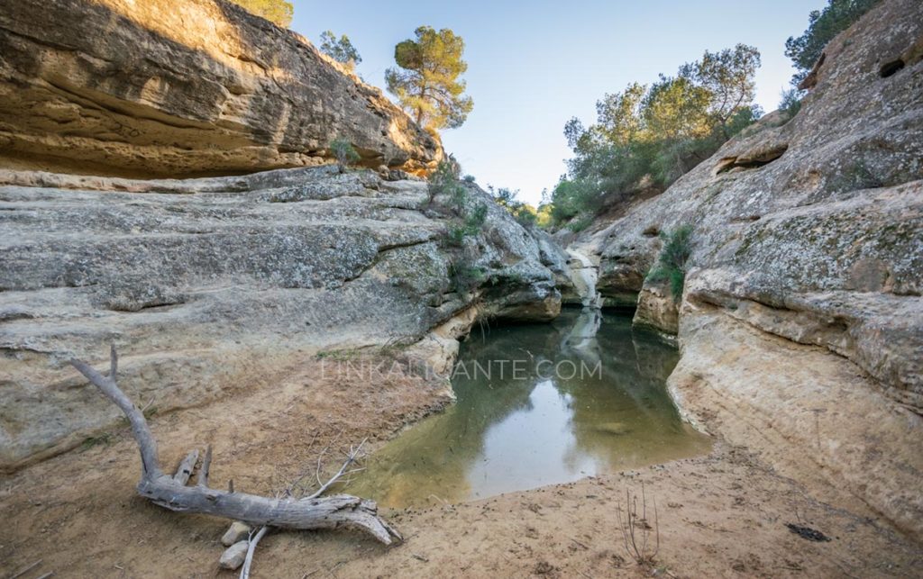
El Hoyo Serrano is a Protected Natural Area, privately owned, located between the towns of Algorfa and Almoradí, bordering also with Benijófar and Rojales. In this unique place, the Calderón Ravine, a tributary of the Segura River, has excavated the rock carving a spectacular landscape, where we find a succession of pools or calderas, among which the Caldera del Gigante stands out. Some of these pools maintain water for a good part of the year (not suitable for swimming). It is a place of exceptional environmental importance, being the refuge of numerous species of amphibians, birds and mammals. Among the vegetation in the area, the presence of Aleppo pine stands out.
You can enter this place by following the PR-CV 442 signposted route “La Caldera del Gigante”, a trail opened in 2016.
5. The Sierra Escalona (Protected Landscape)
The Sierra Escalona, with a maximum height of 345 meters at Pico Alcores, is the southernmost mountain formation in the province of Alicante, being a mountain range shared with the neighboring Region of Murcia. This natural area of exceptional ecological value has the figure of protection of Protected Landscape, granted by the Generalitat Valenciana in 2018.
The Sierra Escalona, despite its protection, is a space threatened by the high urban pressure of the Vega Baja. Esalona is a true wildlife sanctuary for bird species as striking as the Eagle Owl, the Golden Eagle or Bonelli’s Eagle, which is why the environment has a SPA (Special Protection Area for Birds). As for mammals, species such as the wild cat, the genet or the European badger stand out. The presence of reptiles is also remarkable in this natural area.
For all these environmental values, associations such as Amigos de la Sierra Escalona have been calling for many years for the declaration of Sierra Escalona as a Natural Park. Let us hope that this distinction can soon be obtained to increase the protection of such a valuable ecosystem that, despite being protected, continues to be seriously threatened at present.
To know Sierra Escalona, you can follow the route proposed from the blog Descubriendo Alicante or from the web Senderos y Cimas.
6. La Cruz de la Muela Cross, Orihuela Mountains.
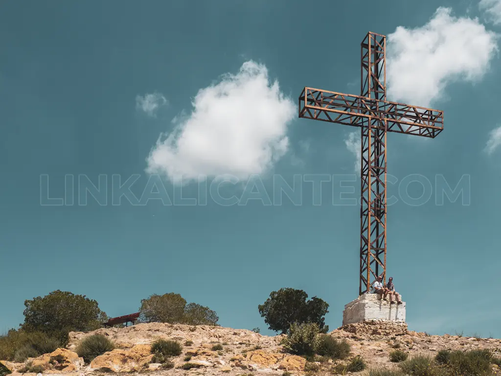
Despite being a “modest” elevation, the Sierra de Orihuela is a natural area of great beauty and environmental value, a paradise for lovers of hiking, climbing or mountain biking. This elongated mountain formation, which reaches its highest point at 634 meters at the Peña de Orihuela (also known as Leja Millamón), offers miles and miles of trails to enjoy.
One of the most popular routes is the one that leads to the Cruz de la Muela, an exceptional viewpoint over the monumental Orihuela, capital of the Vega Baja, as well as over the entire region that dominates from the heights.
By the way, on the Orihuela Tourism website you can download an excellent map of the Sierra de Orihuela, scale 1:15,000, prepared by Editorial Piolet.
7. El Pico del Águila, Callosa Mountain Range
High difficulty route, only for experienced people.
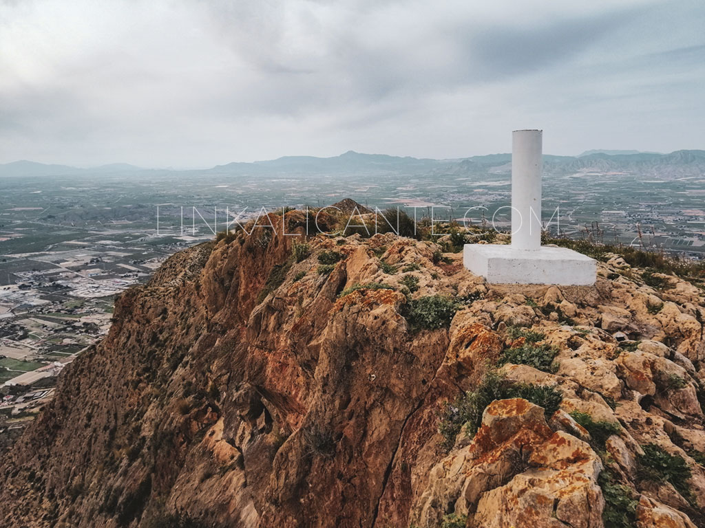
We close this selection of hiking trails in the Vega Baja del Segura in the Sierra de Callosa, the second highest elevation of the region, but the most difficult due to the steepness of its terrain. Not surprisingly, in this mountain range there are 2 via ferratas and an infinite number of climbing routes. This is due in large part to the great prominence of the Sierra de Callosa, which rises very sharply from the plain it overlooks. Settled in the foothills of this emblematic mountain range are four municipalities of the Vega Baja: Granja de Rocamora, Cox, Redován and Callosa de Segura, which gives its name to the mountainous formation.
The proposed route consists of the ascent to the Pico del Águila, the highest elevation of the Sierra de Callosa with its 568 meters of height. There are several ways to climb this peak, but in this case we will follow a route of high difficulty that will also take us to the top of Pico Cortado. A route only suitable for people with experience in climbing and without fear of heights… Do you dare with the challenge?
And so far, our selection of hiking trails in the Vega Baja. Remember that we will be updating this article periodically to add more routes.
Do not miss...
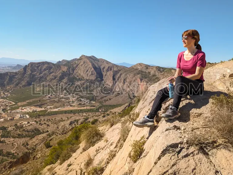
Cruz de la Muela (Sierra de Orihuela), Vega Baja viewpoint
Discover the hiking route up to the Cruz de la Muela, a cultural reference of the city of Orihuela and the Vega Baja del Segura.
