The most complete guide on hiking routes in Alicante
Alicante, a paradise for hiking lovers
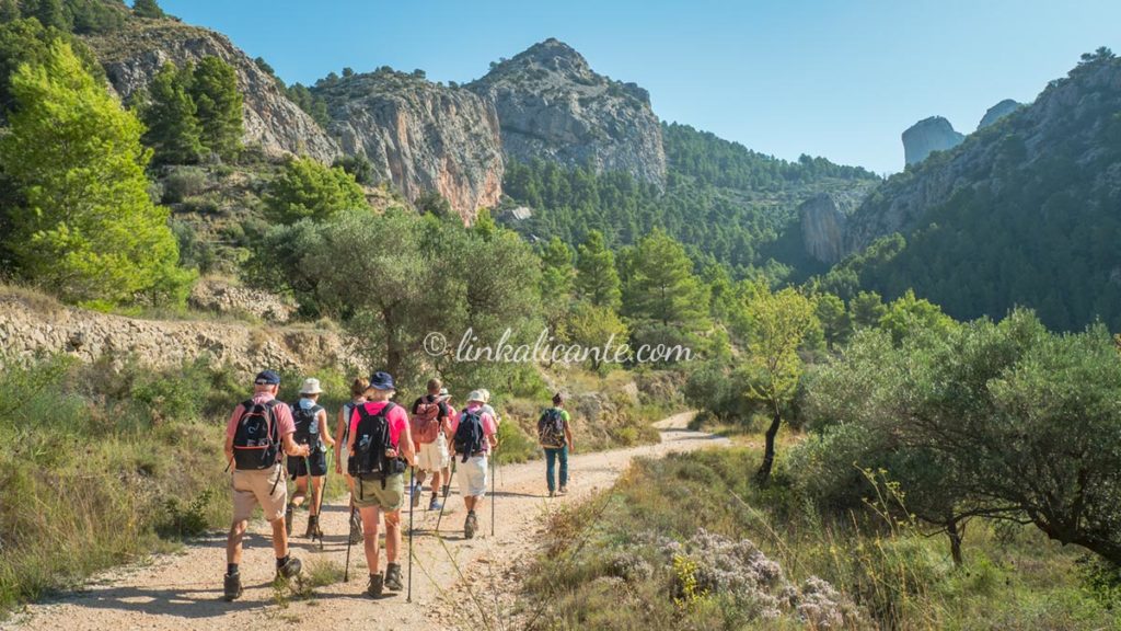
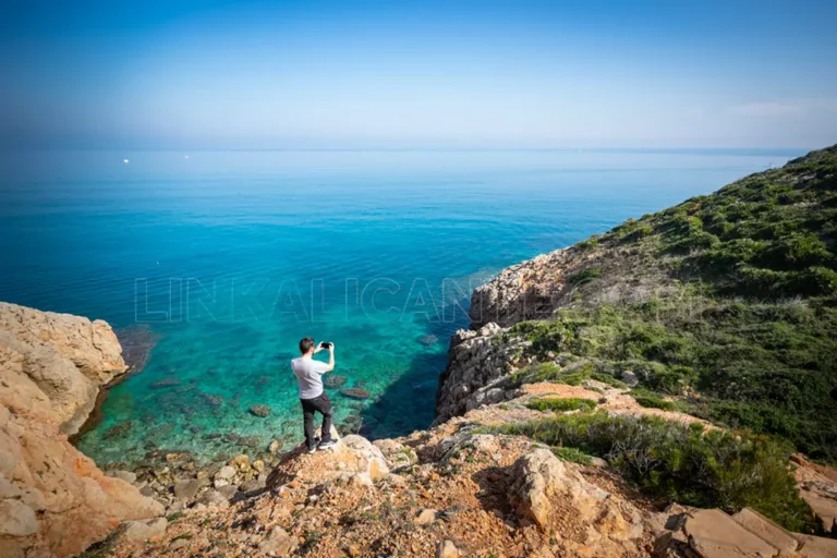
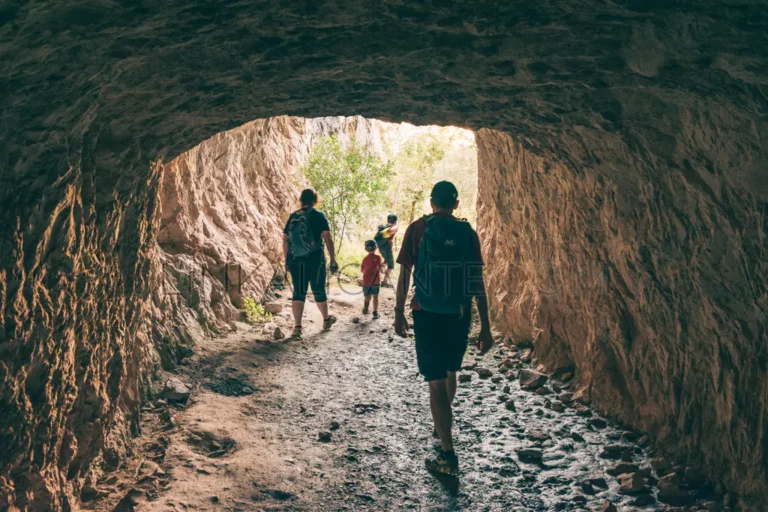
The province of Alicante has a very mountainous geography, with more than 50 peaks that exceed 1,000 meters in height, all this harboring a great diversity of natural areas. Far beyond the traditional vision of “sun and beach”, when you begin to discover our province, you realize that it offers endless possibilities for hiking, with routes for all tastes and all levels of difficulty.
Hiking in Alicante by categories:
In the following articles you can consult different compilations of hiking routes in the province of Alicante.
Map of Hiking Routes in the province of Alicante
List of Hiking Routes in Alicante province
(click on the title of the route to enter the description)
Classification of the Routes by Difficulty
ALL
All Public
EASY
Diff. Easy
MEDIA
Medium Difficulty
DIFFICULT
Difficult
Aitana, Sierra de
Alcalali
Alcoi
- ALL El Molinar de Alcoi, in Autumn
- EASY El Racó Sant Bonaventura
- * More routes in the section “Font Roja”.
Alfafara
Algaiat, Serra de l’
Alicante
- EASY Castle Climb and emblematic places (wikiloc)
- EASY The Rabasa Lagoons
- MEDIA The Serra Grossa and the Molinet Hill
- MEDIA Fontcalent, the forgotten (and mistreated) sierra
Altea
Aspe
Benicadell, Serra del
- DIFFICULT Ascent to Benicadell from Gaianes
Benissa
Benitatxell, El Poble Nou de
Bèrnia, Serra de
- HALF Circular of the Sierra de Bernia
- DIFFICULT Bèrnia summit from Algar
Cabeçó d’Or, Sierra del
Calp
Campello, El
Castell de Castells
Crevillent
Elche / Elx
Font Roja / Serra del Menejador
Grana, Sierra de la
Guadalest, Vall de
Maigmó, Serra del
Mariola, Serra de
- EASY Font de la Coveta, source of the Vinalopó River
- EASY La Cava de Don Miquel from Agres
- DIFFICULT Ascent to Montcabrer from Agres
- DIFFICULT The Montcabrer from Cocentaina
- EASY Sant Cristòfol Hermitage and the Barranc del Cint
Monforte del Cid
Montgó – Denia
- DIFFICULT Ascent to Montgó by the Camí de la Colonia and the path of La Plana.
- HALF Cova Tallada and Torre del Gerro Route
Mutxamel
Orihuela, Sierra de
- DIFFICULT La Cruz de la Muela Cross
Petrer
Pinoso
Plans
Puig Bell
Sant Vicent del Raspeig
Serrella, Serra de
-
- DIFFICULT Pla de la Casa from Fageca
- DIFFICULT Recingle Alt de la Serrella from Benasau
Serra Gelada
- DIFFICULT Cresta de la Serra Gelada Crossing
- ALL Albir Lighthouse Route
- ALL The Caletes Tower
Teulada / Moraira
- EASY Cap d’Or watchtower
Tibi
Torrevieja
Vall de Gallinera
Vall de Laguar
- DIFFICULT The Barranc de l’Infern, the Cathedral of Hiking. Circular route of 14 km following the route of the PR-CV 147.
- DIFFICULT Les Valls de la Marina Alta. Route of 62km
Vila Joiosa, La
Xàbia / Jávea
- HALF Granadella Castle Route
- EASY Cap Prim and its surroundings. Barraca Cove
- EASY Cap Prim and Sardinera Cove
Xixona
If you are interested in getting tracks for hiking in Alicante, you can visit this page where I compile the most popular ones, or visit my profile on wikiloc (link on the same page).
Are you lacking ideas of routes to enjoy with your family?
Here’s 50!
Excursions designed to do with children and adults compiled in this digital guide of LinkAlicante.
Your ebook of choice when you need inspiration to go out on the road. It will make your life easier. Save time and enjoy all year round.
For only 12€ (VAT included).

Photo Galleries
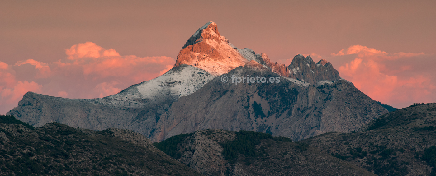
Since I launched the website, I have had in mind the idea of offering a personal vision of the routes, based on the feelings that the mountains, the sea, and nature in general transmit to me. All this, combined with photography, another of my great passions. Below you can see articles published on the web where you will not find a precise description of the route, but an invitation to discover the natural spaces by yourself.

About LinkAlicante
LinkAlicante is a website that promotes a conscious and respectful approach to the natural areas of the province of Alicante, through the dissemination of hiking trails and charming places. LinkAlicante was born in October 2007 as a personal initiative of Fernando Prieto. More information about LinkAlicante.
Did you like it? Thank you
Haz clic en una estrella para puntuar:
Promedio de puntuación 0 / 5. Recuento de votos: 0
Sin votos por ahora.
Free Digital Guide
Subscribe to LinkAlicante and receive for free the digital guide with 10 essential routes in Alicante.

