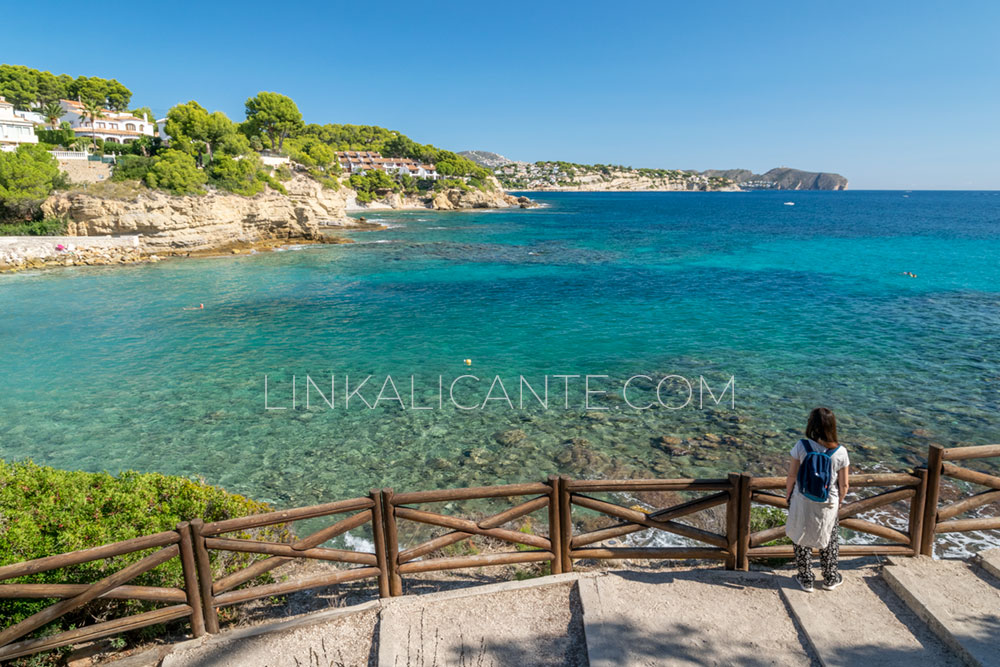
A self-guided interpretative tour through the beautiful coves of the Benissa coastline.
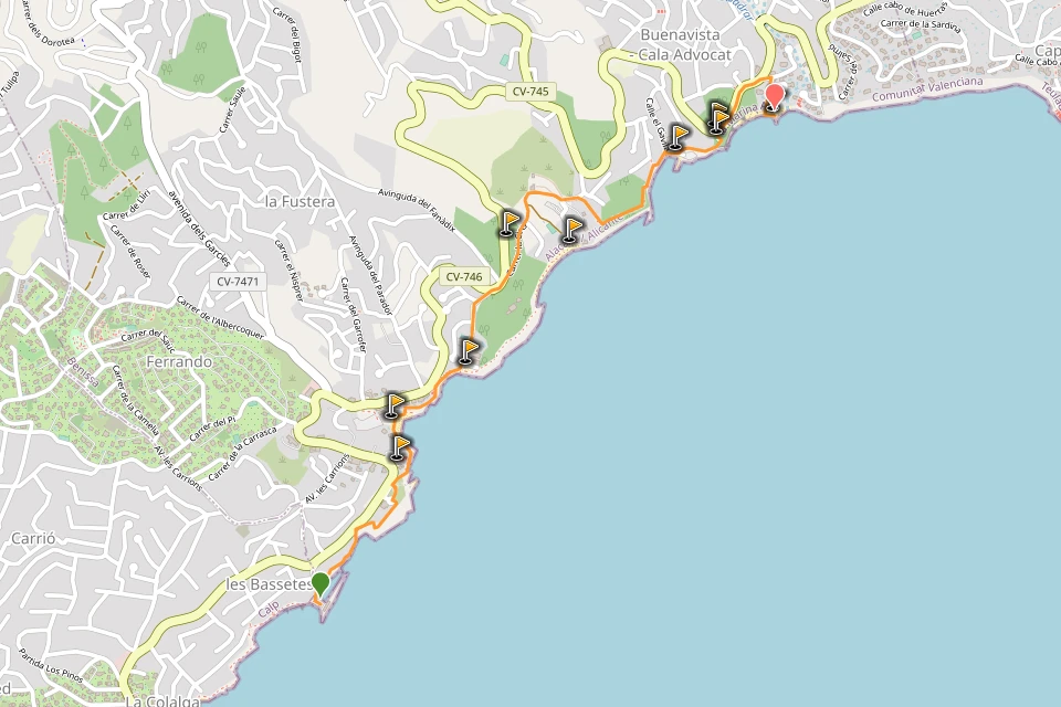
The Benissa Ecological Walk is a coastal route of about 3 kilometers long (one way), equipped with explanatory panels, benches and picnic areas, which connects the various and beautiful bays of the municipality of Benissa, in the region of the Marina Alta, in the north of the province of Alicante.
This pleasant walk, a simple excursion, is a great option to make with children the beautiful landscapes of the region, as well as enjoying the Benissa coastwe can learn on its different ecosystems, cultural heritage and other aspects of interest, thanks to detailed information on its interpretive panels which are spread over 21 information stops in 3 zones.
Do you already know your favorite cove on the course? Let’s start!
Índice del Artículo
ToggleWhat is the Benissa Ecological Walkway like?
Difficulty very easy - 3.5 km (one way) - 100 m. unevenness
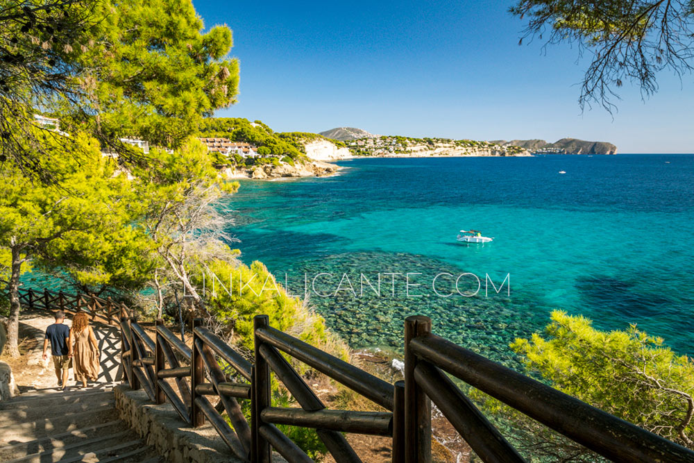
It is a linear route of about 3.5 kilometers along the Ecological Path of Benissa, equipped with dirt or asphalt lane, wooden railings, explanatory panels, benches, litter garbage cans, viewpoints and picnic areas.
Despite being a simple route and perfect to do with children, the route has several ups and downs that are saved with the help of a good number of steps, not being a route suitable for strollers or wheelchairs.
There are several shady spots along the route, equipped with picnic tables. There are public toilets in the tourist office of Benissa and in the Fanadix green area, as well as in restaurants and cafeterias in the area.
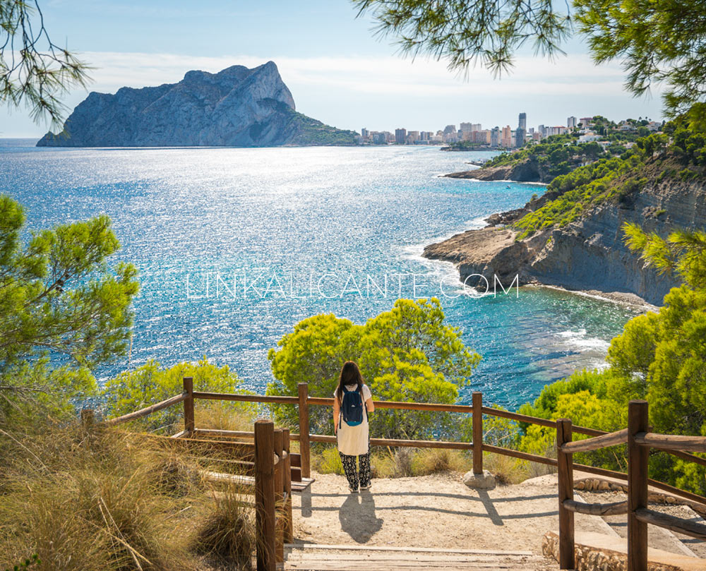
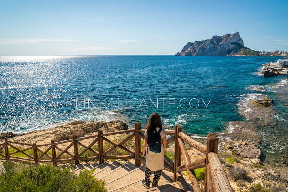
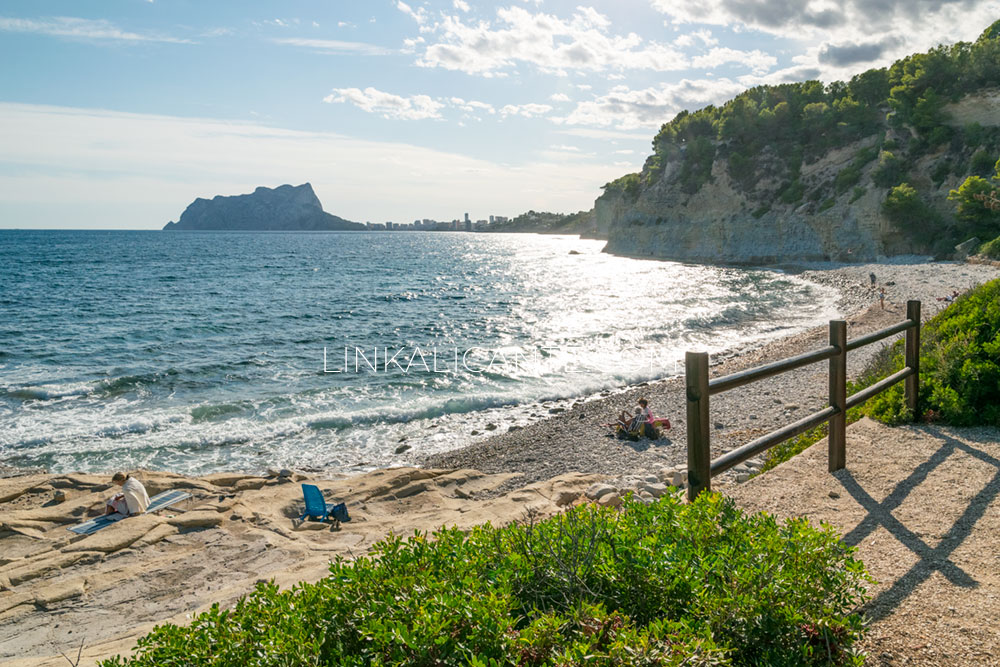
During a good part of the route, we have views of the emblematic Penyal d’Ifac (Peñón de Ifach), a natural park and symbol of the Costa Blanca, in the neighboring town of Calp (Calpe).
Starting Point
We can start the trail at different points, although the recommended place is the Tourist Info Benissa Playa (Aula del Mar).
Aula del Mar Schedule:
Monday – Friday: 10.00 – 18.00h
Saturday: 09.30 am – 13.30 pm
Sunday: closed
Next to the tourist office there is a parking space (usually full), information about the route and public toilets. There is also a picnic area with several tables. A few meters away, following the path towards Calpe, we find another picnic area.
Another option to start the route can be the parking of the Cala de la Fustera, very close to the tourist office and with more space.
Trail Description and Photographs
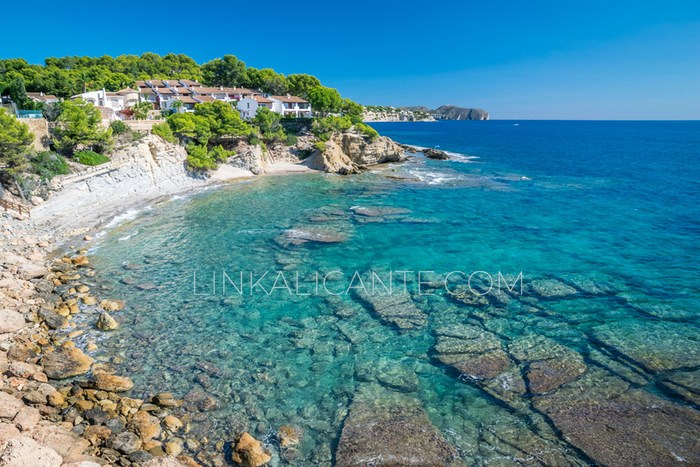
Tourist Info - Club Náutico les Bassetes section
From the Tourist Info Benissa Playa, we travel this section to and from the Club Náutico Les Bassetes, belonging to Benissa. This section, about 0.7 kilometers long (one way), is equipped with 7 explanatory panels.
As a remarkable element, we find the remains of an ancient quarry of rough stone (the best example of this type of quarries is found in the Cova Tallada in Xàbia).
We also find in this area the Cala de les Bassetes, ideal for swimming (with booties) or snorkeling.
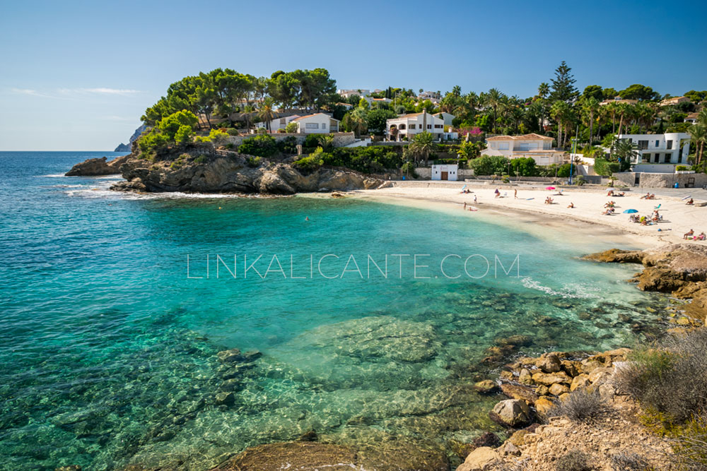
Tourist Info - Cala Pinets section
Back at the Tourist Info Benissa Playa, we walk the stretch to Cala Pinets (more secluded and quiet), passing through the Cala de la Fustera -the most accessible and comfortable of the route with all services, parking and restaurant-.
This section is 0.5 kilometers long. At the end of the trail, the path turns away from the coast to pass through the Fanadix green zone.
Section Cala Pinets - Cala Llobella
In this section, of about 0.8 kilometers, the trail moves away from the Benissa coast to pass next to the Fanadix Green Zone, where we find picnic tables, playground, public toilets and bio-healthy park).
At the end of this section we arrive at the parking lot of Cala de la Llobella, whose access road (by car) is very narrow and steep, so we do not recommend it. The Cala de la Llobella is probably the wildest of the route and one of the most beautiful.
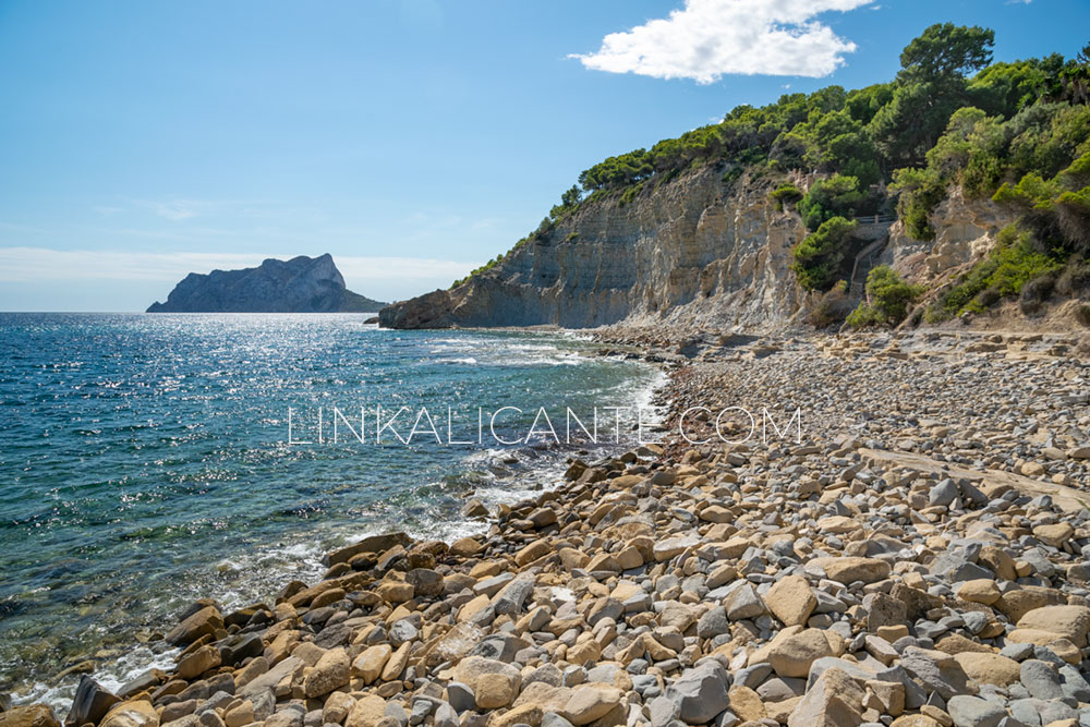
Section Cala Llobella - Cala Baladrar
From the parking lot of Cala Llobella, the trail runs through one of its most beautiful sections, crossing a pine forest area without buildings, unlike most of the route. At this point we also find a nice viewpoint, with a bench, overlooking the Penyal d’Ifac.
From the viewpoint, we started the descent to the Cala de l’Advocat, where we found a breakwater, a metal staircase to access the sea and a beach bar (in season).
We continue from Cala Advocat with a new climb, by steps, to the top of the cliff. The route officially ends here, in a bio-healthy park. However, we can continue along the road to
Baladrar cove
one of the most beautiful of the route, where there is also a small beach (in season) and some picnic tables.
Benibús, free bus to the coves of Benissa

There is a free bus service that connects the town center of Benissa with the different coves of the town, so we can use this bus to return from Cala Baladrar to Playa de la Fustera. Here you can check the timetables.
Benissa Ecological Trail Video
I encourage you to watch the following video about the Ecological Path of Benissa, with images of the route and the different coves that we visit along the way. A video developed by the tourist office of Benissa.
And if you want to know more about this beautiful town in the Marina Alta, do not miss this video of the series “Alicante village by village”.
Track for GPS
We leave you the GPS track of the ecological trail of Benissa through wikiloc.
Links of interest
➡️ Information of the route in the web of tourism of Benissa.
➡️ Brochure of the ecological walk of Benissa (web of tourism of Benissa).
The best places to snorkel in Alicante
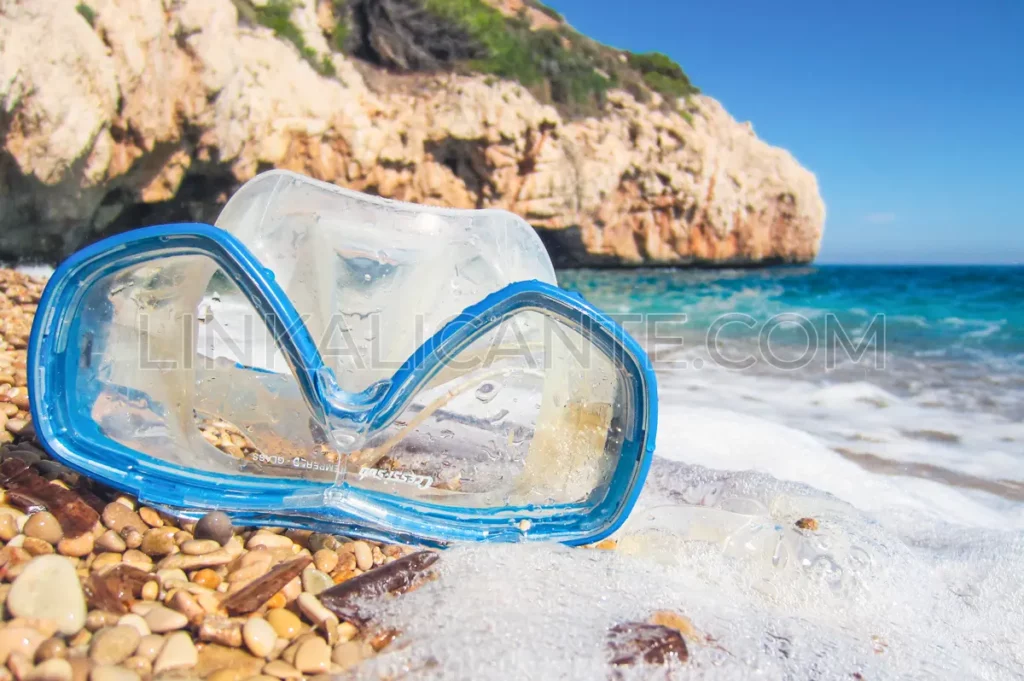
Although this route can be done at any time of the year, it is especially pleasant between May and October, because of the possibility of combining the hiking route itself with a swim in the sea and snorkeling in one of the fantastic coves of Benissa.
If you liked this article about the Benissa Ecological Walk, I encourage you to discover other places to snorkel in Alicante:
Article first published in LinkAlicante in December 2009.
Last update: April 2024.
Do not miss...
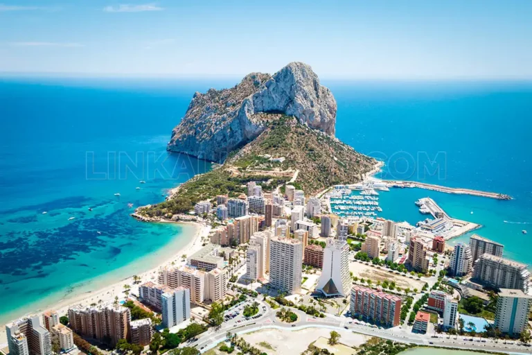
Peñón de Ifach. Route, reservations, activities and more. Calpe / Calp
Complete guide to discover El Peñón de Ifach in Calpe, one of the icons of the Costa Blanca (Alicante). Route, reservation, activities and more.
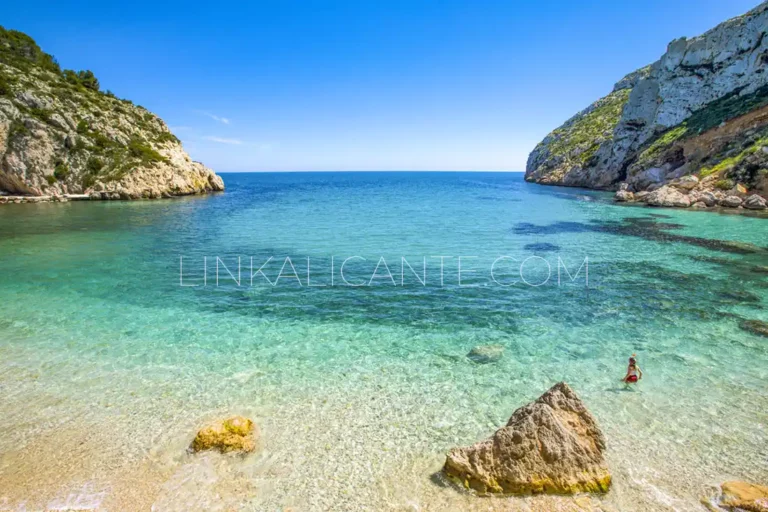
The 10 Best Coves in Alicante + Map
Discover the 10 Best Coves of Alicante and its location map in this tour from north to south along the coast of the Costa Blanca.

