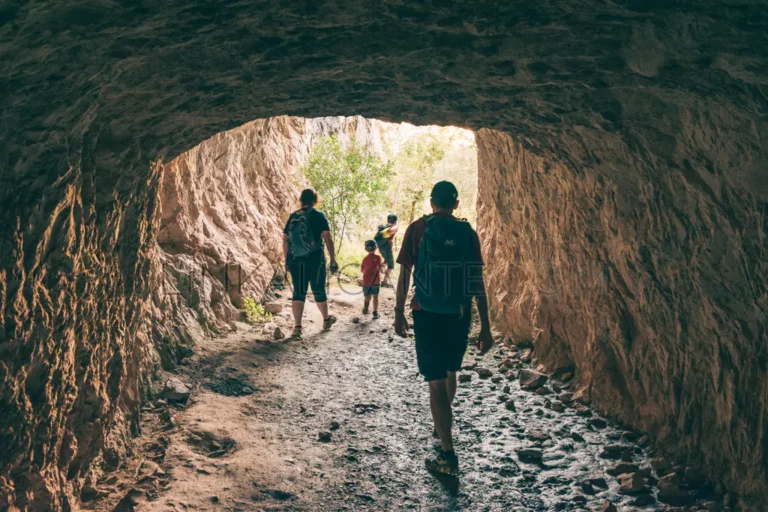
12 Routes for all audiences in the province of Alicante
Selection of 12 Simple and Beautiful routes in Alicante. Ideal for families and seniors, hiking for all ages on the Costa Blanca.
Articles with information on Hiking Routes in the province of Alicante. In each article we can find a description of the route, photographs, GPS track, tips for the visit, environmental and cultural values of the route and other information of interest.

Selection of 12 Simple and Beautiful routes in Alicante. Ideal for families and seniors, hiking for all ages on the Costa Blanca.
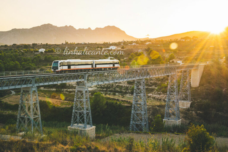
We propose a selection of hiking routes that you can access using public transport from Alicante.
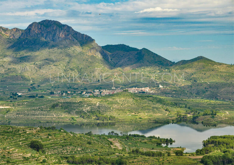
The Sierra del Benicadell constitutes the natural border between the counties of El Comtat (Alicante) and the Vall d’Albaida (Valencia), therefore also forming the border between these two provinces of the Valencian Community. This mountainous formation is one of the most aesthetic and beautiful in Dianic geography, as it presents a characteristic and stylized double
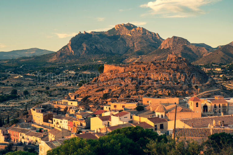
We visited the town of Busot to do one of the most iconic hiking trails in the province of Alicante: the PR-CV 2 trail in the Cabeçó d’Or.
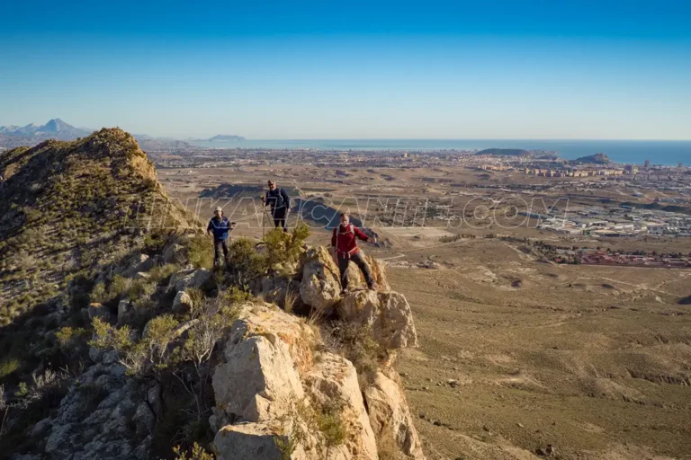
Located about 8 kilometers west of the city center, the Serra de Fontcalent (446 meters above sea level) is an elevation of great archaeological, environmental and landscape importance, within the municipality of Alicante . A mountain range that, despite attracting attention when we drive next to it on the A-31, usually receives very few visits
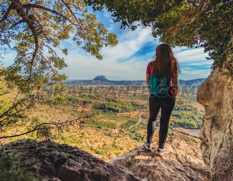
Discover the best hiking routes in the province of Alicante with our selection of 10 Essential Routes.
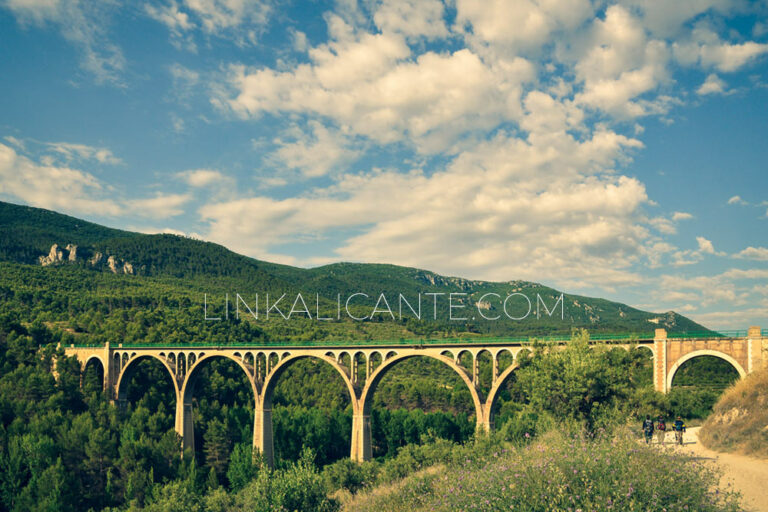
The Alcoy Greenway is a simple and beautiful itinerary between the natural parks of Font Roja and Serra de Mariola, crossing tunnels and bridges, ideal for families.
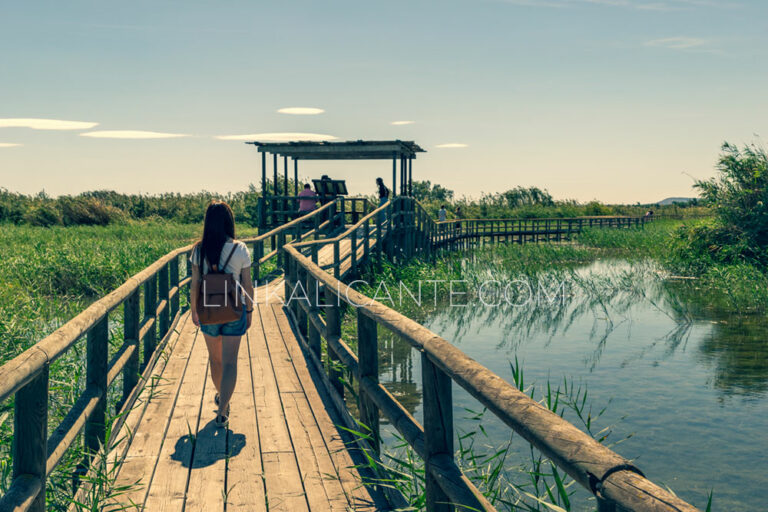
We enjoyed a nice walk, suitable for wheelchairs and baby strollers Today we are going to get to know one of the wetlands in the province of Alicante that have the figure of protection of Natural Park . We will do it through a very simple route, just 1 kilometer long and totally flat, suitable
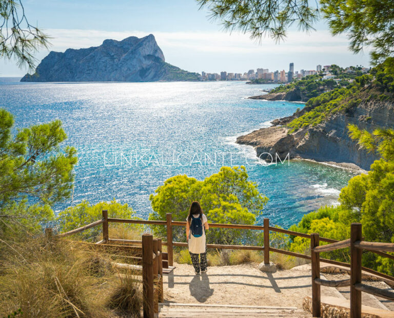
Marvel at the crystal clear waters and seabed of the coast of Benissa in this simple excursion along the sea, among pine trees and beautiful coves.
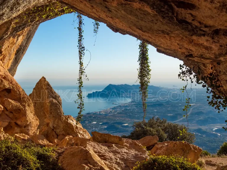
Discover the fascinating hiking route around the Serra de Bèrnia, one of the most beautiful, varied and interesting excursions in the province of Alicante.
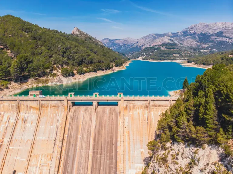
Hiking route for all audiences, ideal to combine with a visit to the villages of the valley and savor its rich cuisine.
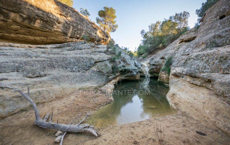
Do not miss our selection of the best hiking trails in the region of Vega Baja del Segura (Alicante).
To provide the best experiences, we and our partners use technologies like cookies to store and/or access device information. Consenting to these technologies will allow us and our partners to process personal data such as browsing behavior or unique IDs on this site and show (non-) personalized ads. Not consenting or withdrawing consent, may adversely affect certain features and functions.
Click below to consent to the above or make granular choices. Your choices will be applied to this site only. You can change your settings at any time, including withdrawing your consent, by using the toggles on the Cookie Policy, or by clicking on the manage consent button at the bottom of the screen.