The Route of the Cliffs or Penya-Segats is a surprising path at the foot of the impressive rocky walls that shape the coastline of El Poble Nou de Benitatxell , in the Marina Alta region of Alicante.
This simple round-trip hiking route leads us from the touristy and well-known Moraig Cove -in high season, with limited capacity and paid parking-, to the inaccessible and wild Cala Llebeig, one of the few “virgin” beaches in the province of Alicante. Along the way, we will enjoy some amazing views and some other surprises. Are you going to miss it? Let’s start!
Índice del Artículo
ToggleCliffs of the Marina Alta: Protected Natural Space
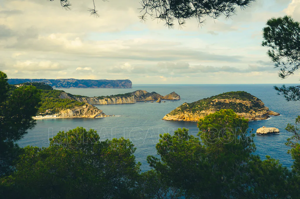
Benitatxell’s coastline, along with that of other coastal towns in the north of Alicante such as Xàbia and Dénia, is protected within the Natura 2000 Network as a SCI (Site of Community Importance) and SPA (Special Protection Area for Birds). Rare and endangered plant species, endemic species that only grow here and in the Pitiusas islands, can be found in this coastal strip of cliffs, therefore their conservation is vital. In addition, the cliffs are the habitat of many bird species, also threatened in many cases because their habitat has been reduced by the advance of the urbanized territory. Thank you for taking care of this place during your visit!
Cala Moraig: How to Season 2024
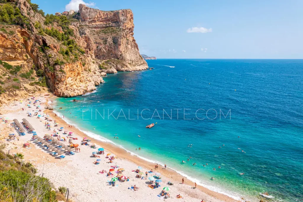
Quick summary: if you come by car, you will have to pay 12€ for parking in Cala Moraig. There is a free shuttle bus that goes up and down the slope every 15 minutes and makes 4 trips a day from Benitatxell. Read on to learn more.
Access by Car to Cala Moraig
From April 1 to October 15, from 9.00 to 19.00 hours, will be in operation the system of video surveillance parking and parking space reservation through the website calamoraig.es or through the app.
Reservations can also be made at the kiosk at the beginning of the descent, but it is better to make them in advance. Before going down to the cove by car you will find information panels about the availability of places.
Moraig Shuttle Bus
In 2024, the free shuttle bus service will continue to operate, bringing beach users from the upper parking lot to the cove every 15-20 minutes.
There will be 4 round trips from the parking lot of the cemetery (in the village) that will connect the beach with the town of Benitatxell. This avoids the saturation of cars in the cove. Here you can check the schedules.
Hike Overview
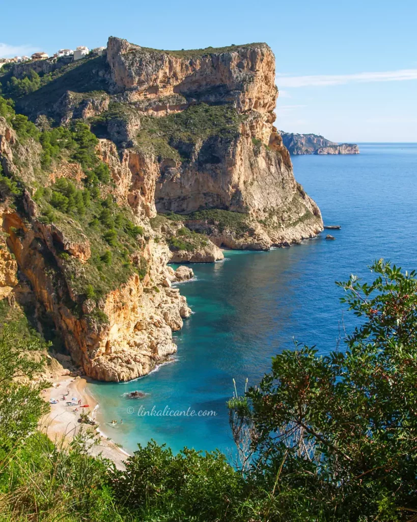
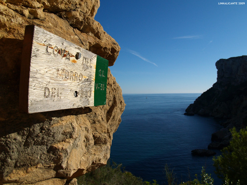
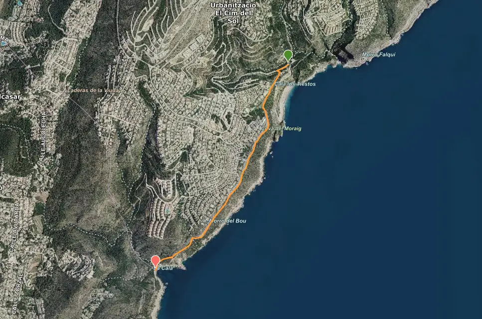
Route of the Cliffs of Benitatxell . Linear route (round trip) of low difficulty, following the white and green marks of the local trail SL-CV 50. We walk from the parking of the Cala del Moraig, to the Cala Llebeig. It is a very simple route, without feeling of vertigo, that flattens along a “strip”, halfway up the cliffs.
The descent to Cala Llebeig is the most complicated section of the route, due to its rocky nature, but it will be equally easy for people with minimal hiking experience. After enjoying the visit to the cove, we return along the same path.
Data sheet
- Difficulty: Easy
- linear route
- Distance: 2.3 km (one way)
- Accumulated slope: 100 m. (Going)
- Approximate time: 2-3 hours (quietly)
- Children: recommended +6 years
- Starting point: see on google maps
recommendations
- Mountain footwear . Although it is a simple route, I recommend mountain shoes to avoid injuries and accidents.
- Watch out for the heat . In summer it can be very hot on this route. Bring enough water and sun protection.
- Footwear for the bathroom. You will need it in Cala Llebeig.
Recommended Accommodation
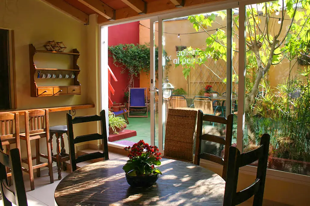
Casa Antiquary
Casa Antiquary is a cozy family atmosphere hostel located in the town center of El Poble Nou de Benitatxell. This hostel has 3 spacious rustic style rooms with lots of natural light. It also has several common areas where comfort, tranquility and well-being are assured. Next to the hostel you will find the restaurant Pizzeria Antiquary where you can taste their homemade food.
Description of the Route and Photographs
To start the route, we will look for the parking area that is just before the descent to Cala del Moraig . There we will leave the car, having previously taken the parking ticket if we go in season. We go up the road on our right, looking towards the cove, until we find the beginning of the path, marked with indicators.
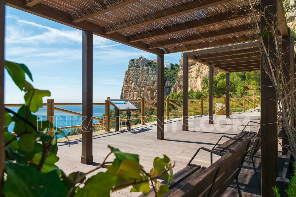
It took me about 2 hours to reach Cala Llebeig (twice as long as indicated). Of course, taking many photos and the consequent stops. Despite being in the month of October, the heat was important. If you plan to do this route in summer, be careful with the sunniest hours. If you go in the afternoon, you will find much more shade and less heat.
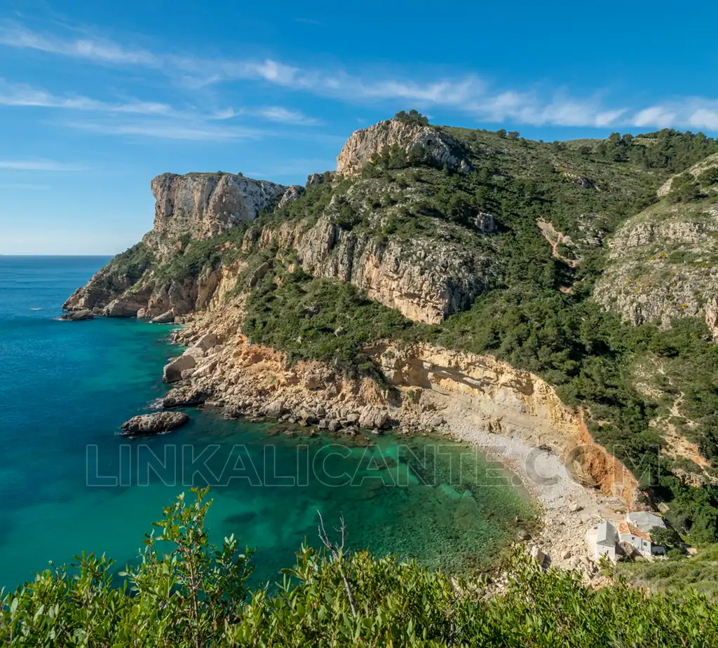
The path guides us to the foot of the impressive cliffs that make up the coast of Benitatxell. Some of them reach or exceed a hundred meters in height, such as Morró Falquí , located north of Cala Moraig.
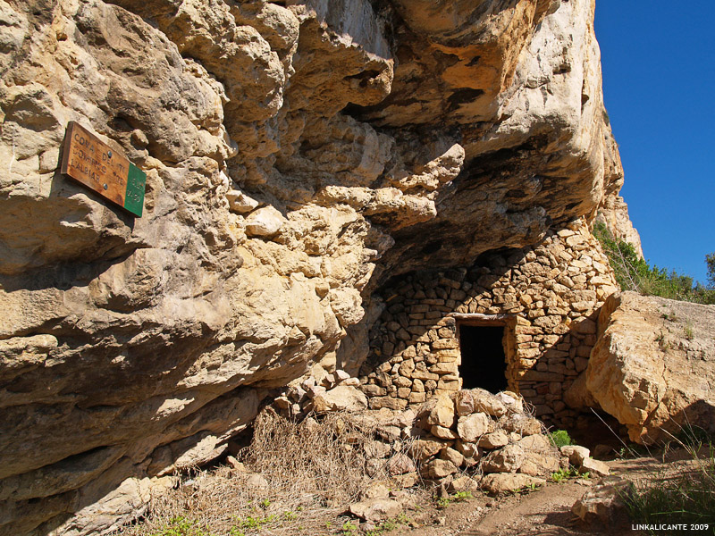
Along the route, we find different caves. These are very rudimentary constructions that were formerly used by the fishermen and farmers of Benitatxell, as well as the smugglers, habitual in these lands. The views are impressive, similar to those found on the Travesía de la Serra Gelada .
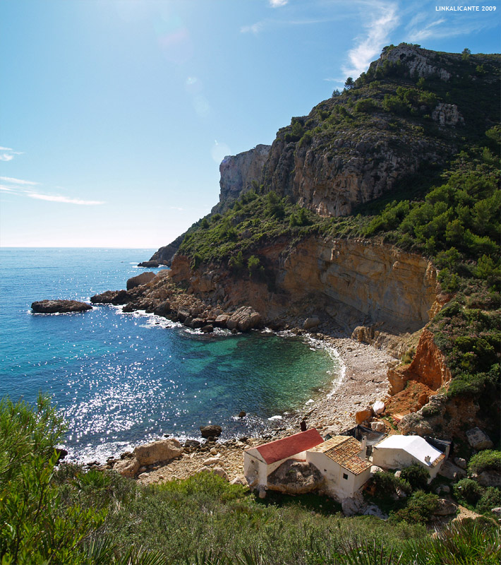
Little by little, bend after bend, we are approaching Cala del Llebeig . Finally, it appears before us. Perhaps not as big or as beautiful as Moraig, but certainly much more virgin and authentic.
It reminded me a lot of one of the coves in Mallorca that I used to go to with my parents when I was little. It is hard to believe that there are still corners in Alicante with this beauty. Let’s hope it lasts like this for many years, although unfortunately the harassment of urbanizations endangers this marvelous cove. By the way, I couldn’t resist it and took a bath.
In Cala Llebeig we find several “fishermen’s houses” and the “Caseta dels Carabiners”. As I have already mentioned, smugglers were common in this place, hence the presence of a permanent surveillance post in the cove.
To put the finishing touch to this fantastic day of hiking and nature, nothing better than going down to the Cala del Moraig to enjoy its iconic view.
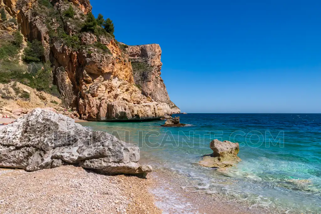
As an “extra” on this route, I recommend you take the short but spectacular trail that leads to the Moraig Fault, a geological wonder declared a “Natural Monument”. This trail starts halfway down the slope to Cala Moraig, on the right side. You will find the indications at the beginning of this section.
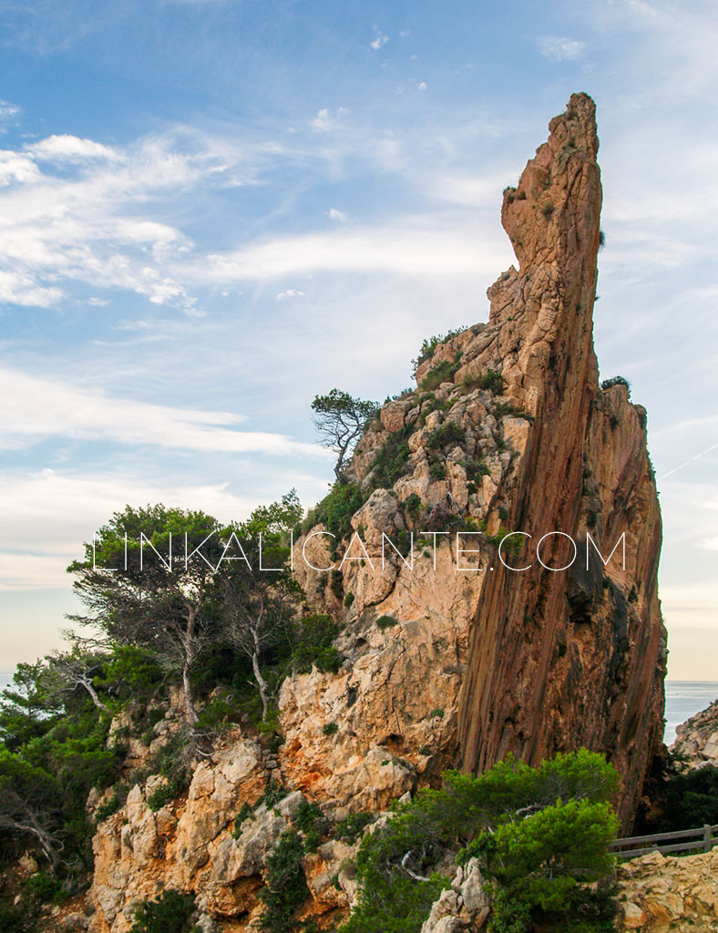
I hope you enjoyed La Ruta de los Acantilados de Benitatxell as much as I did! See you next time!
More routes along the Alicante Coast
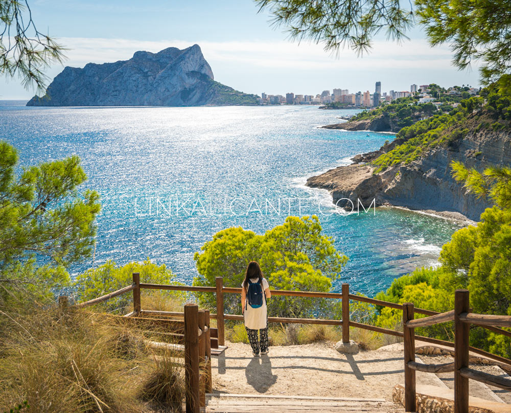
Would you like to discover other hiking trails by the sea in the province of Alicante? Discover them below:
Track for GPS
Although the route is signposted and it is very easy to follow, here is the track for GPS via wikiloc.
Do not miss...
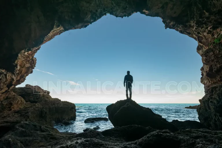
Cova Tallada
Everything you need to know to visit the Cova Tallada from Denia. A fascinating place you have to see in the Comunitat Valenciana.
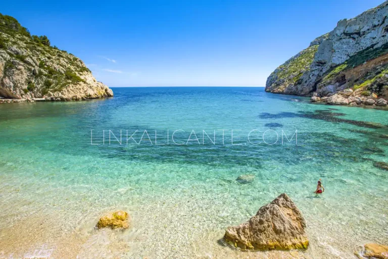
The 10 Best Coves in Alicante + Map
Discover the 10 Best Coves of Alicante and its location map in this tour from north to south along the coast of the Costa Blanca.

Pingback: Ausflugsziele – Javea und Umgebung